


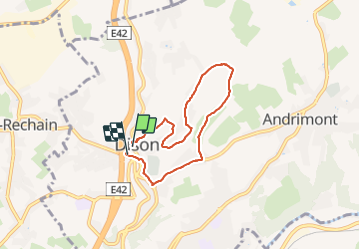


13.4 km | 17.5 km-effort

User GUIDE


FREE GPS app for hiking
 SityTrail
IGN / Geographical institutes
SityTrail World
The world is yours!
Trail Walking of 5.5 km to be discovered at Wallonia, Liège, Dison. This trail is proposed by pierreh01.
Vendredi 8 octobre 2021
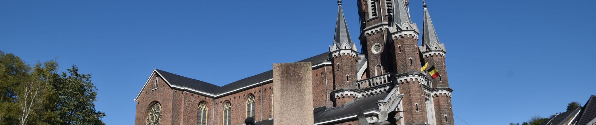
Balade TOTEMUS au départ de DISON sous un très beau soleil.
Jolie balade avec quelques dénivelés importants mais relativement courts.
De superbes paysages à visualiser.


66 photos in total. Please click on a photo to see them all in the gallery.

Walking


Walking

Walking

Walking

Walking

Walking

Walking

Walking