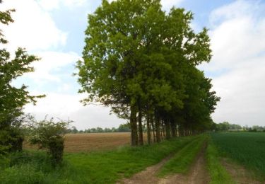
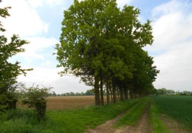
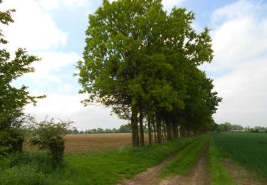
10.9 km | 11.6 km-effort
gaillefontaine
patoches76
User
Length
9.5 km
Max alt
243 m
Uphill gradient
114 m
Km-Effort
11 km
Min alt
151 m
Downhill gradient
112 m
Boucle
Yes
Creation date :
2021-10-08 11:32:56.452
Updated on :
2022-02-03 12:16:17.349
2h29
Difficulty : Easy
FREE GPS app for hiking
About
Trail On foot of 9.5 km to be discovered at Normandy, Seine-Maritime, Gaillefontaine. This trail is proposed by patoches76.
Positioning
Country:
France
Region :
Normandy
Department/Province :
Seine-Maritime
Municipality :
Gaillefontaine
Location:
Unknown
Start:(Dec)
Start:(UTM)
398831 ; 5502055 (31U) N.
Comments
Trails nearby
La Hallegouche (N° 7) - Conteville
Equestrian
Easy
Conteville,
Normandy,
Seine-Maritime,
France
1h 30min
Yes
La Hallegouche (N° 7) - Conteville
Mountain bike
Easy
Conteville,
Normandy,
Seine-Maritime,
France
10.9 km | 11.6 km-effort
1h 0min
Yes
La Hallegouche (N° 7) - Conteville
Walking
Medium
Conteville,
Normandy,
Seine-Maritime,
France
10.9 km | 11.6 km-effort
2h 45min
Yes
Le Hallegouche
On foot
Easy
Conteville,
Normandy,
Seine-Maritime,
France
10.1 km | 10.8 km-effort
2h 27min
Yes
Forges A32
Walking
Easy
Serqueux,
Normandy,
Seine-Maritime,
France
6.5 km | 7.4 km-effort
2h 0min
Yes
Haute - Normandie - Ligne 330 - Saint-Denis - Dieppe (Section de Serqueux à D...
Other activity
Very easy
Serqueux,
Normandy,
Seine-Maritime,
France
49 km | 52 km-effort
5min
No
Saint Maurice
On foot
Easy
Gaillefontaine,
Normandy,
Seine-Maritime,
France
8.8 km | 11 km-effort
Unknown
Yes
Haucourt-Halescourt
On foot
Very easy
Haucourt,
Normandy,
Seine-Maritime,
France
9.3 km | 11.4 km-effort
Unknown
Yes
Sur les hauteurs de Gaillefontaine
On foot
Very easy
Gaillefontaine,
Normandy,
Seine-Maritime,
France
11.2 km | 13.2 km-effort
Unknown
Yes