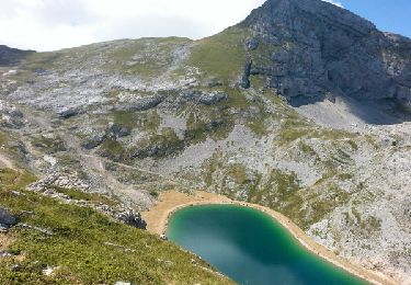
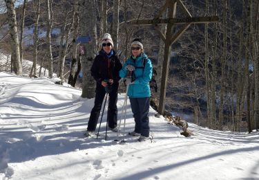
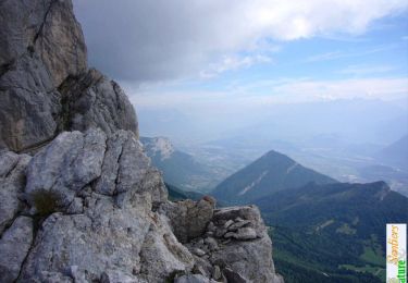
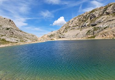
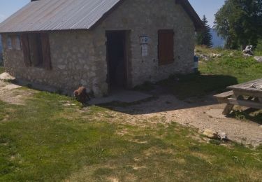
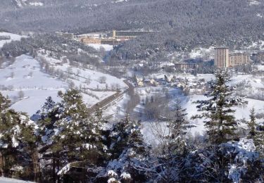
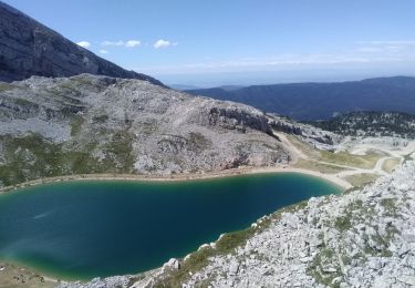
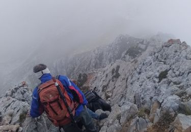
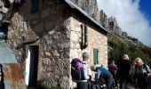
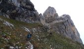
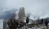
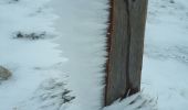
Trail Walking Le Gua - Tour des arêtes du Gerbier - Photo

Tour des arêtes du Gerbier

 Emelle
Emelle

User

© OpenStreetMap contributors
Length
Length
14.2 km
Max alt
Max alt
1959 m
Uphill gradient
Uphill gradient
932 m
Km-Effort
Km-Effort  
27 km
Min alt
Min alt
1321 m
Downhill gradient
Downhill gradient
932 m
Boucle
Boucle
Yes
Creation date :
2021-10-07 07:27:13.884
Updated on :
2021-10-12 07:56:17.751

(0 Reviews)

Walking
Walking
7h21
Difficulty : Difficult

Scan this QR Code to open this trail in the SityTrail application

FREE GPS app for hiking

Logo SityTrail SityTrail
IGN / Geographical institutes

Download SityTrail from the App Store Download SityTrail from Google Play

Logo SityTrail SityTrail World
The world is yours!

Download SityTrail from the App Store Download SityTrail from Google Play Download SityTrail on Huawei AppGallery

About

Trail Walking of 14.2 km to be discovered at Auvergne-Rhône-Alpes, Isère, Le Gua. This trail is proposed by Emelle.

Description

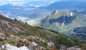
Montée par le pas de l'Oeille et descente par le col Vert.
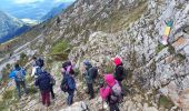
La montée au pas de l'Oeille est délicate (il faut parfois mettre les mains) et les conditions météo peuvent renforcer les difficultés. Attention à ne pas sortir de l'itinéraire.
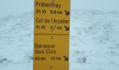
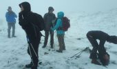
Nous avons trouvé la neige au pas de l'Oeille, le brouillard et le vent, ce qui a rendu plus difficile la descente du pas de l'Oeille pour rejoindre le sentier Péronnard (sentier recouvert partiellement par la neige).
Pique-nique à l'abri du vent avant le cal Vert.

Elevation profile

Photos

Positioning

Country:
France
Region :
Auvergne-Rhône-Alpes
Department/Province :
Isère
Municipality :
Le Gua
Location:
Unknown
Start:(UTM)
704532 ; 4988092 (31T) N.

Trails nearby

Trail Walking Villard-de-Lans - villard col des 2 soeurs - Photo
Walking
arnaudconde

Walking

Medium
(1)
Villard-de-Lans, Auvergne-Rhône-Alpes, Isère, France
7.7 km | 13.8 km-effort
2h 45min
Yes
Trail Walking Château-Bernard - la soldanelle - Photo
Walking
cmarit

Walking

Easy
(1)
Château-Bernard, Auvergne-Rhône-Alpes, Isère, France
6.1 km | 10.8 km-effort
3h 17min
No
Trail Walking Villard-de-Lans - Le sentier Peronnard et le Pas de l'OEille - Photo
Walking
tracegps

Walking

Easy
(1)
Villard-de-Lans, Auvergne-Rhône-Alpes, Isère, France
13.7 km | 25 km-effort
6h 0min
Yes
Trail Walking Villard-de-Lans - lac de Moucherolle par les liapaz  - Photo
Walking
GUIDE
nadinebondoux

Walking

Difficult
Villard-de-Lans, Auvergne-Rhône-Alpes, Isère, France
7.2 km | 12.9 km-effort
3h 11min
Yes
Trail Walking Villard-de-Lans - 38 pas oeille balcon est col vert - Photo
Walking
GUIDE
randodyssée

Walking

Medium
Villard-de-Lans, Auvergne-Rhône-Alpes, Isère, France
15 km | 25 km-effort
7h 4min
No
Trail Walking Villard-de-Lans - 38 malaterre côté 2000 - Photo
Walking
GUIDE
randodyssée

Walking

Medium
Villard-de-Lans, Auvergne-Rhône-Alpes, Isère, France
17.1 km | 25 km-effort
4h 23min
Yes
Trail Walking Villard-de-Lans - La petite sœur Sophie - Photo
Walking
GUIDE
nadd73

Walking

Difficult
Villard-de-Lans, Auvergne-Rhône-Alpes, Isère, France
8 km | 15.7 km-effort
4h 23min
Yes
Trail Walking Villard-de-Lans - la grande moucherolle Agathe et Sophie - Photo
Walking
GUIDE
nadd73

Walking

Difficult
Villard-de-Lans, Auvergne-Rhône-Alpes, Isère, France
11.8 km | 25 km-effort
7h 8min
No
Trail Walking Villard-de-Lans - col_vert - Photo
Walking
vrolanta

Walking

Medium
(2)
Villard-de-Lans, Auvergne-Rhône-Alpes, Isère, France
8.7 km | 16.4 km-effort
3h 0min
Yes


Close
My subscriptions