


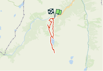


11.4 km | 17.5 km-effort

User


FREE GPS app for hiking
 SityTrail
IGN / Geographical institutes
SityTrail World
The world is yours!
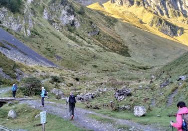
Trail Walking of 11 km to be discovered at Occitania, Hautespyrenees, Cauterets. This trail is proposed by micheldutilleul.
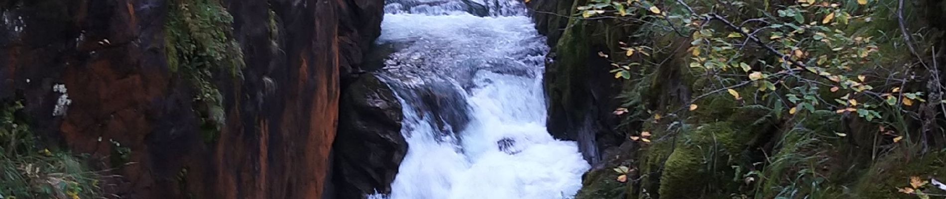
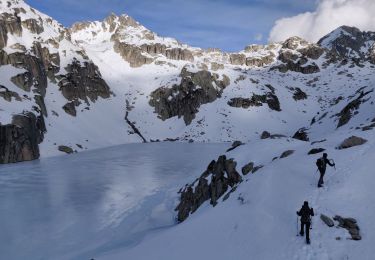
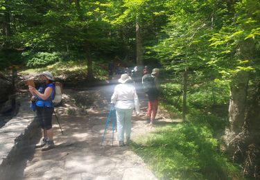
Randonnée au départ du pont d'Espagne vers le lac de Gaube, puis direction le refuge des Oulettes de Gaube. Après la cabane du Pinet, faire encore quelques centaines de mètres pour avoir une vue panoramique sur le lac de Gaube. Puis retour vers le lac et le pont d'Espagne.


Walking

Walking

Walking
Walking

Walking

Walking

Walking
Walking
Walking