


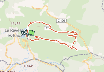


11.8 km | 19.3 km-effort

User


FREE GPS app for hiking
 SityTrail
IGN / Geographical institutes
SityTrail World
The world is yours!
Trail Walking of 9.9 km to be discovered at Provence-Alpes-Côte d'Azur, Var, Le Revest-les-Eaux. This trail is proposed by cousam.
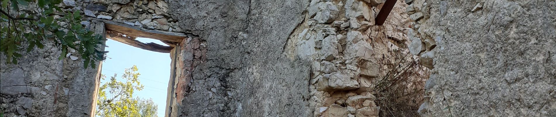
Boucle par la source de Ragas ,le ravin du Cierge ,le village en ruines des Olivières ,la carrière des fourmis ,la grotte de Sable et le château de Tourris.


24 photos in total. Please click on a photo to see them all in the gallery.

Walking

Walking

Walking

Walking

Walking

Walking

Walking

Walking

Walking