


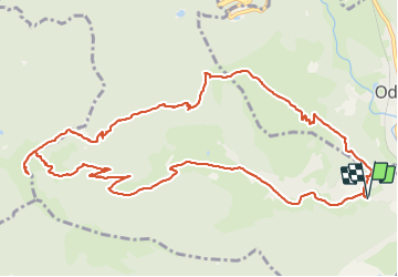

11.9 km | 20 km-effort

User


FREE GPS app for hiking
 SityTrail
IGN / Geographical institutes
SityTrail World
The world is yours!
Trail Walking of 13 km to be discovered at Grand Est, Haut-Rhin, Fellering. This trail is proposed by margotte.
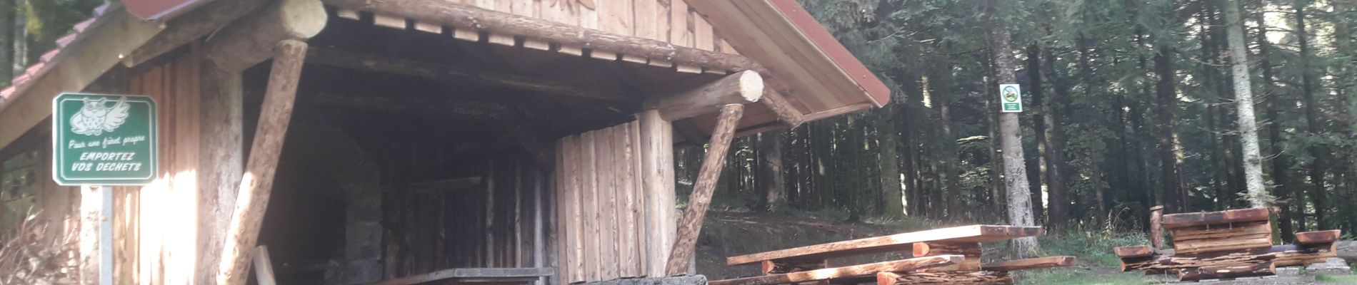
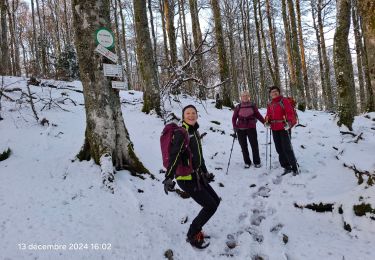
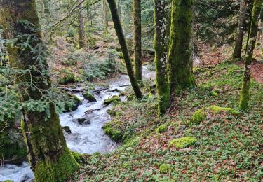
Un beau parcours varié à travers chaumes et forêts avec de très beaux points de vue. Une vallée bien ouverte sur la fin, dommage que les 3 derniers km soient sur la route


Walking

Walking
Walking
Walking

Walking

Walking


Walking
Walking