4.6 km | 10.6 km-effort
Gorge d’Aradena (Crète)
GOHIER
User
Length
15.5 km
Max alt
615 m
Uphill gradient
861 m
Km-Effort
27 km
Min alt
0 m
Downhill gradient
856 m
Boucle
No
Creation date :
2021-10-05 06:08:55.0
Updated on :
2021-10-05 12:12:12.084
6h01
Difficulty : Difficult
FREE GPS app for hiking
About
Trail Walking of 15.5 km to be discovered at Region of Crete, Chania Regional Unit. This trail is proposed by GOHIER.
Description
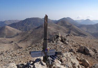
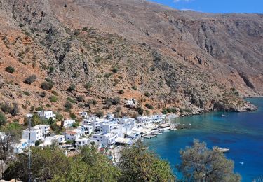
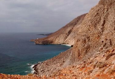
En boucle depuis Loutro jusqu’au village d’Aradena.
Superbe !
Positioning
Country:
Greece
Region :
Region of Crete
Department/Province :
Chania Regional Unit
Municipality :
Unknown
Location:
Unknown
Start:(Dec)
Start:(UTM)
234090 ; 3899021 (35S) N.
Comments
Trails nearby
Anopoli-Mouri
On foot
Easy
,
Region of Crete,
Chania Regional Unit,
Greece
5.7 km | 11.2 km-effort
2h 33min
No
Anopoli-Livaniana
On foot
Easy
,
Region of Crete,
Chania Regional Unit,
Greece
4 km | 6.3 km-effort
1h 25min
No
Aradena-Marmara Bay
On foot
Easy
,
Region of Crete,
Chania Regional Unit,
Greece
5.7 km | 9.2 km-effort
2h 5min
No
Anopoli-Loutro
On foot
Easy
,
Region of Crete,
Chania Regional Unit,
Greece
4.3 km | 7 km-effort
1h 36min
No
Anopoli-Pachnes
On foot
Difficult
,
Region of Crete,
Chania Regional Unit,
Greece
15.6 km | 35 km-effort
7h 54min
No
2024-09-22 Loutro + extension
Trail
Medium
,
Region of Crete,
Chania Regional Unit,
Greece
11.5 km | 18.2 km-effort
2h 12min
Yes
Crète-Gorge d'Aradena 3-4-2018
Walking
Difficult
,
Region of Crete,
Chania Regional Unit,
Greece
14.2 km | 25 km-effort
4h 40min
Yes
Chora- sfakion vers Eglise Stavros (direction Loutro)
Walking
Difficult
,
Region of Crete,
Chania Regional Unit,
Greece
3.9 km | 6.7 km-effort
1h 54min
Yes