


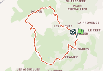

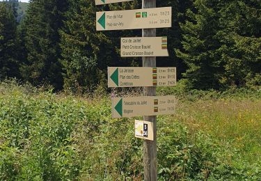
7 km | 8.7 km-effort

User


FREE GPS app for hiking
 SityTrail
IGN / Geographical institutes
SityTrail World
The world is yours!
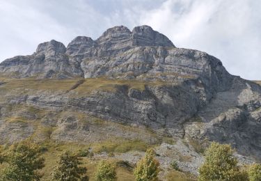
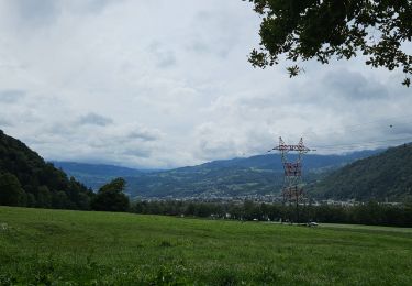
Trail Walking of 10.8 km to be discovered at Auvergne-Rhône-Alpes, Upper Savoy, Sallanches. This trail is proposed by elisabethperrenoud.
départ du parking de Burzier
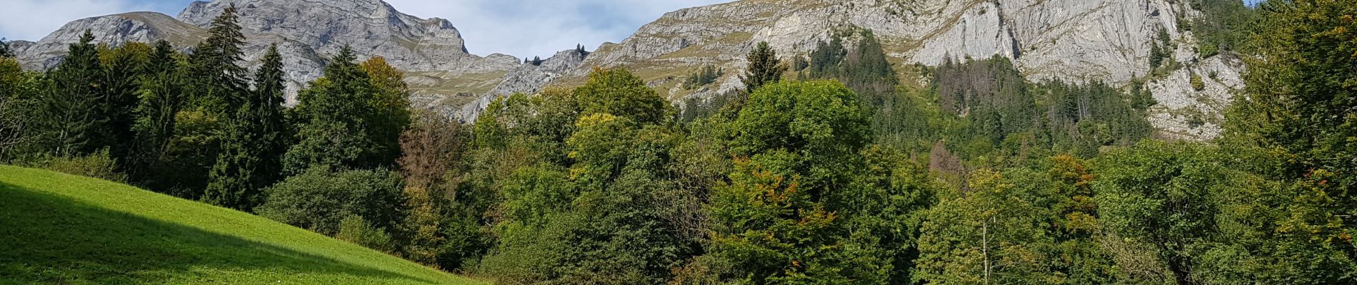
chalets de Doran ,puis à la crête des Saix ,ensuite la descente par le chalet de Mayères, magnifique panorama!

Walking

Snowshoes
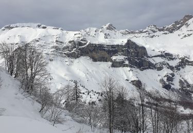
Snowshoes

Snowshoes
Walking

Mountain bike

Walking
Walking
Mountain bike