


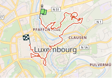


15.6 km | 21 km-effort


User


FREE GPS app for hiking
 SityTrail
IGN / Geographical institutes
SityTrail World
The world is yours!
Trail Walking of 5.8 km to be discovered at Unknown, Canton Luxembourg, Luxembourg. This trail is proposed by maraccorsi@yahoo.com.
Segue in parte il percorso Vauban ma se ne discosta molto per terminare in centro a place Guillaume 2.


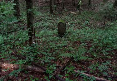
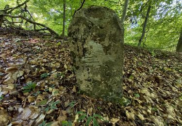
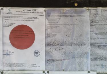
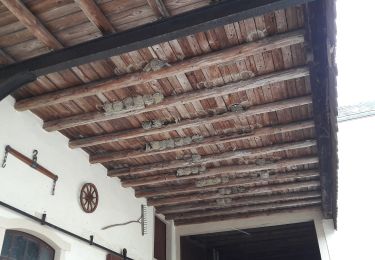
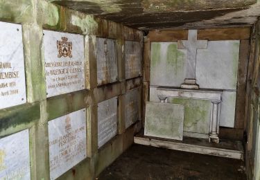
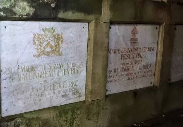
23 photos in total. Please click on a photo to see them all in the gallery.

Walking
On foot
On foot
On foot
On foot
On foot
On foot

Walking

Nordic walking