


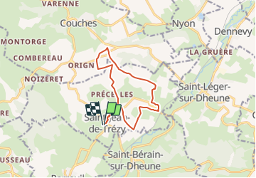

15.9 km | 21 km-effort


User


FREE GPS app for hiking
 SityTrail
IGN / Geographical institutes
SityTrail World
The world is yours!
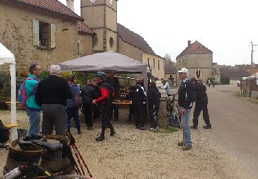
Trail On foot of 11.3 km to be discovered at Bourgogne-Franche-Comté, Saône-et-Loire, Saint-Jean-de-Trézy. This trail is proposed by Malice0093.
Randonnée facile
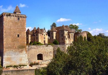
Beaux points de vue ,passage à proximité du chateau de Couches (dit de Marguerite de Bourgogne)

On foot

Walking
Walking
Walking
Mountain bike
Walking
Mountain bike
Mountain bike
Walking