Trail Plane Estercuel - mes mad - Photo
© OpenStreetMap contributors
Length
Length
15 km
Max alt
Max alt
1047 m
Uphill gradient
Uphill gradient
961 m
Km-Effort
Km-Effort  
27 km
Min alt
Min alt
694 m
Downhill gradient
Downhill gradient
744 m
Boucle
Boucle
No
Creation date :
2021-10-01 13:59:59.585
Updated on :
2021-10-01 14:37:58.936

(0 Reviews)

Plane
Plane
1m
Difficulty : Very easy

Scan this QR Code to open this trail in the SityTrail application

FREE GPS app for hiking

Logo SityTrail SityTrail

IGN / Geographical institutes

Download SityTrail from the App Store Download SityTrail from Google Play

Logo SityTrail SityTrail World

The world is yours!

Download SityTrail from the App Store Download SityTrail from Google Play Download SityTrail on Huawei AppGallery

About

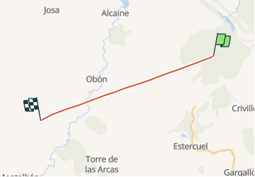
Trail Plane of 15 km to be discovered at Aragon, Teruel, Estercuel. This trail is proposed by jmheydorff.

Elevation profile

Positioning

Country:
Spain
Region :
Aragon
Department/Province :
Teruel
Municipality :
Estercuel
Location:
Unknown
Start:(UTM)
701295 ; 4532766 (30T) N.

Trails nearby

Trail Car Estercuel - Aragon Saintes retour 10 juin 22 - Photo
Car
CriCri

Car

Very easy
Estercuel, Aragon, Teruel, Spain
754 km | 868 km-effort
8h 26min
No


Close
My subscriptions