


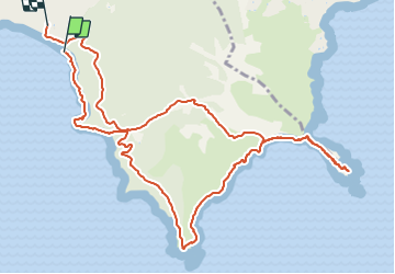

15.2 km | 20 km-effort


User


FREE GPS app for hiking
 SityTrail
IGN / Geographical institutes
SityTrail World
The world is yours!
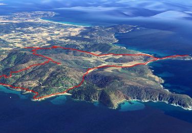
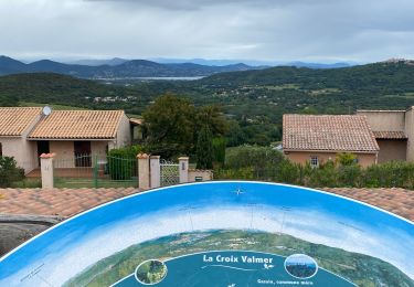
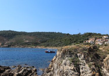
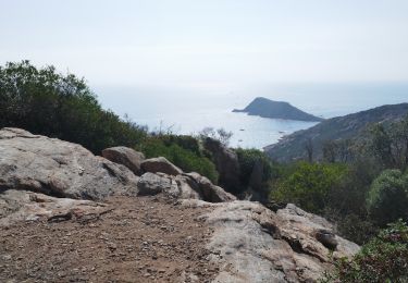
Trail Walking of 13.9 km to be discovered at Provence-Alpes-Côte d'Azur, Var, La Croix-Valmer. This trail is proposed by PhL83.
Très belle randonnée, en grande partie sur le sentier du littoral. Peut être difficile sous la chaleur, peu d’ombre
On foot
Electric bike

Walking
Electric bike
Walking

Mountain bike
Walking
Walking

Walking