


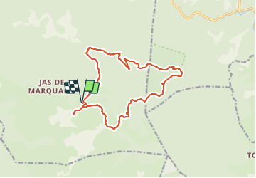

12.6 km | 16.7 km-effort


User


FREE GPS app for hiking
 SityTrail
IGN / Geographical institutes
SityTrail World
The world is yours!
Trail Walking of 17.9 km to be discovered at Provence-Alpes-Côte d'Azur, Var, Signes. This trail is proposed by pourrier.
Abîme des Morts - Aiguilles de Valbelle - Le Siou blanc - l'Eléphant de Pierre.
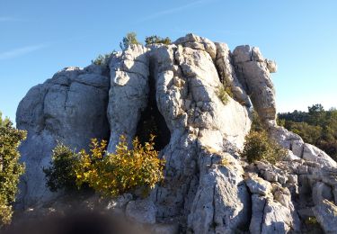
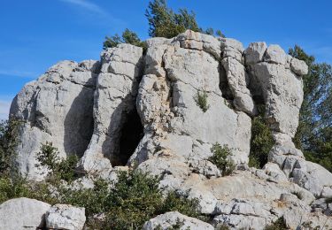
Petit chemin difficile (lapiaz) entre le sommet du Siou Blanc et l'Eléphant de Pierre.
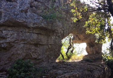
Retour à l'Abîme des Morts. De nombreux Aven sur le chemin à chercher.

Walking

Walking

Walking

Running

Other activity
Walking
Walking
Walking
Walking