


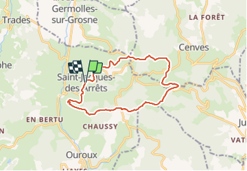

11.9 km | 17.3 km-effort


User


FREE GPS app for hiking
 SityTrail
IGN / Geographical institutes
SityTrail World
The world is yours!
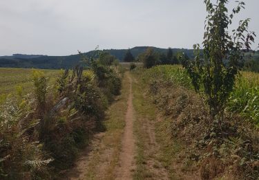
Trail Walking of 13.2 km to be discovered at Auvergne-Rhône-Alpes, Rhône, Deux-Grosnes. This trail is proposed by Thomasdanielle.
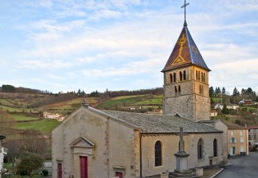
D/A : Parking église
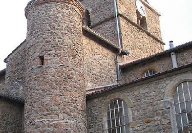
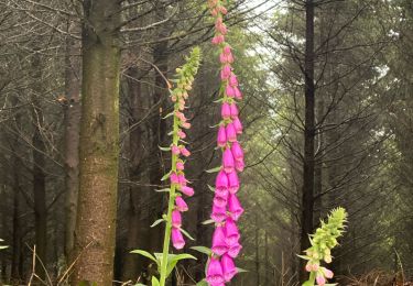
 - Photo 1")
Walking
Walking
Walking
Walking
On foot
On foot

Walking
Walking
Running