


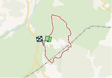

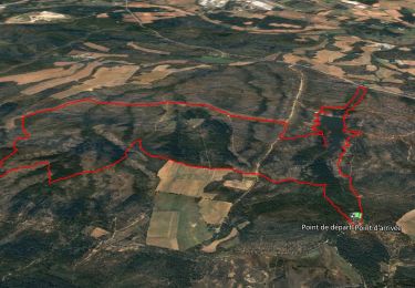
8.3 km | 9.3 km-effort

User


FREE GPS app for hiking
 SityTrail
IGN / Geographical institutes
SityTrail World
The world is yours!
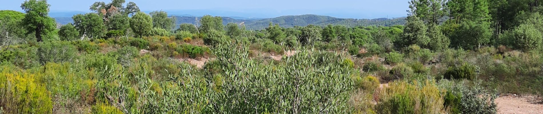
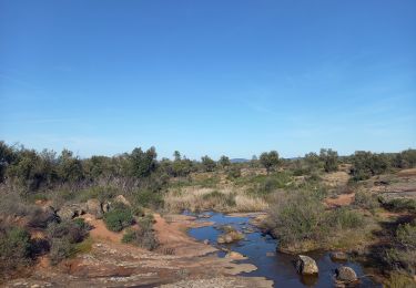
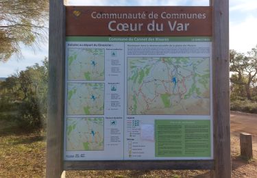
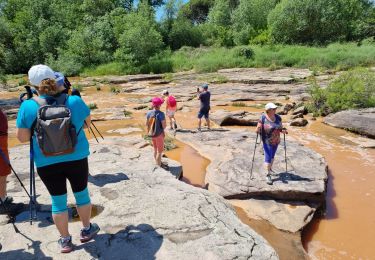
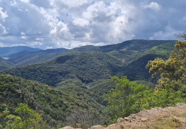
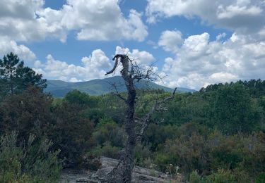
Trail Walking of 6.5 km to be discovered at Provence-Alpes-Côte d'Azur, Var, Vidauban. This trail is proposed by Chantheys.
Départ à déplacer. Arriver par la D48 et emprunter le Chemin de la Moure et se garer presque aussitôt, juste après l'enclos des poubelles.


Walking

Walking
Walking
Walking
Walking
Walking
Road bike
Walking
Walking