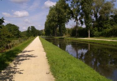
28 km | 31 km-effort
Compostelle etape 9 et 10
maginot
User
Length
63 km
Max alt
289 m
Uphill gradient
651 m
Km-Effort
72 km
Min alt
149 m
Downhill gradient
598 m
Boucle
No
Creation date :
2021-09-28 07:16:41.0
Updated on :
2021-09-29 19:36:43.091
16h19
Difficulty : Medium
FREE GPS app for hiking
About
Trail Walking of 63 km to be discovered at Centre-Loire Valley, Cher, Saint-Amand-Montrond. This trail is proposed by maginot.
Description
Etape 9 quelques beau chemin surtout en fin d etape
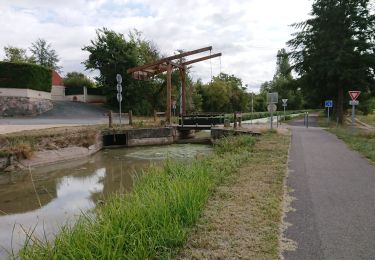
Etape 10 surtout des petites routes
Positioning
Country:
France
Region :
Centre-Loire Valley
Department/Province :
Cher
Municipality :
Saint-Amand-Montrond
Location:
Unknown
Start:(Dec)
Start:(UTM)
460975 ; 5173948 (31T) N.
Comments
Trails nearby
saint amand montrond vallon
Hybrid bike
Very easy
Orval,
Centre-Loire Valley,
Cher,
France
1h 27min
No
Remise en forme le long du Canal de Berry - Saint Amand Montrond
Walking
Medium
Saint-Amand-Montrond,
Centre-Loire Valley,
Cher,
France
12.4 km | 13.2 km-effort
2h 10min
Yes
Tour du lac de Virlay
Mountain bike
Very easy
Saint-Amand-Montrond,
Centre-Loire Valley,
Cher,
France
5.9 km | 6.2 km-effort
33min
Yes
drevant
Walking
Very easy
Drevant,
Centre-Loire Valley,
Cher,
France
4.5 km | 5.3 km-effort
1h 26min
No
canal du Berry
Walking
Very easy
Saint-Amand-Montrond,
Centre-Loire Valley,
Cher,
France
7.7 km | 8.1 km-effort
1h 58min
Yes
le Veurdre
Hybrid bike
Very easy
Saint-Amand-Montrond,
Centre-Loire Valley,
Cher,
France
61 km | 66 km-effort
4h 16min
No
3 Saint Amand Montrond-Neuvy-St Jacques de Compostelle
Mountain bike
Difficult
Saint-Amand-Montrond,
Centre-Loire Valley,
Cher,
France
107 km | 123 km-effort
8h 1min
No
la Tranchasse
Walking
Very easy
Saint-Amand-Montrond,
Centre-Loire Valley,
Cher,
France
31 km | 34 km-effort
Unknown
Yes
Les Sources
Walking
Difficult
Saint-Georges-de-Poisieux,
Centre-Loire Valley,
Cher,
France
13.8 km | 16.1 km-effort
3h 39min
Yes