


4.5 km | 6.2 km-effort

User


FREE GPS app for hiking
 SityTrail
IGN / Geographical institutes
SityTrail World
The world is yours!
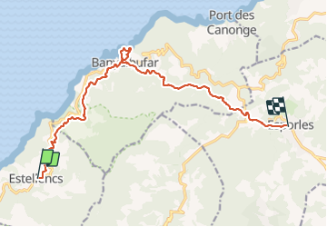
Trail Walking of 16.1 km to be discovered at Balearic Islands, Unknown, Estellencs. This trail is proposed by dauzata.
GR221 La Ruta de Pedra en Sec
Bien balisé
Petite boucle vers la plage (pas de sable) à Banyalbufar
Logements à Esporles: refuge Son Trias ou S'Hostal d'esporles (je recommande, hôtel centenaire)


23 photos in total. Please click on a photo to see them all in the gallery.
On foot

Walking
Walking
Walking
Walking
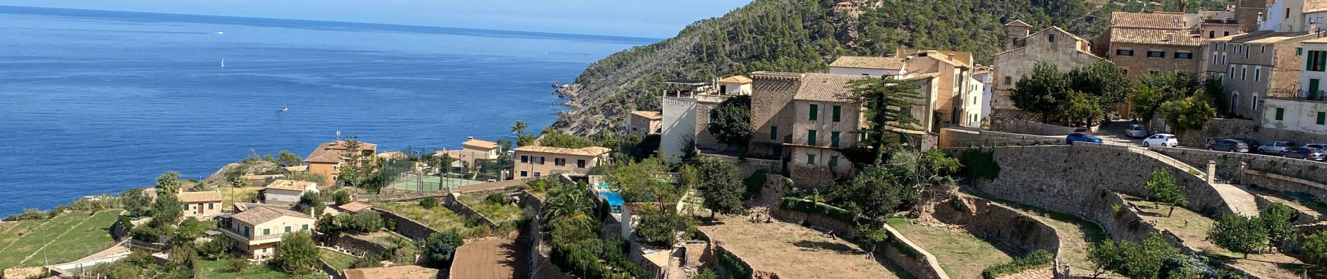
superbe