


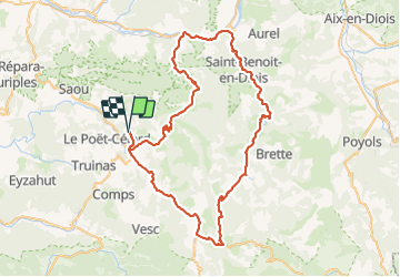

7.9 km | 11.2 km-effort

User GUIDE


FREE GPS app for hiking
 SityTrail
IGN / Geographical institutes
SityTrail World
The world is yours!
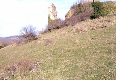
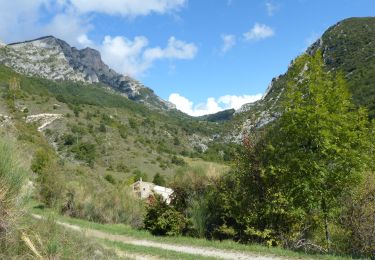
Trail Road bike of 80 km to be discovered at Auvergne-Rhône-Alpes, Drôme, Mornans. This trail is proposed by nadd73.
Beau tour surtout vers Pradelle.


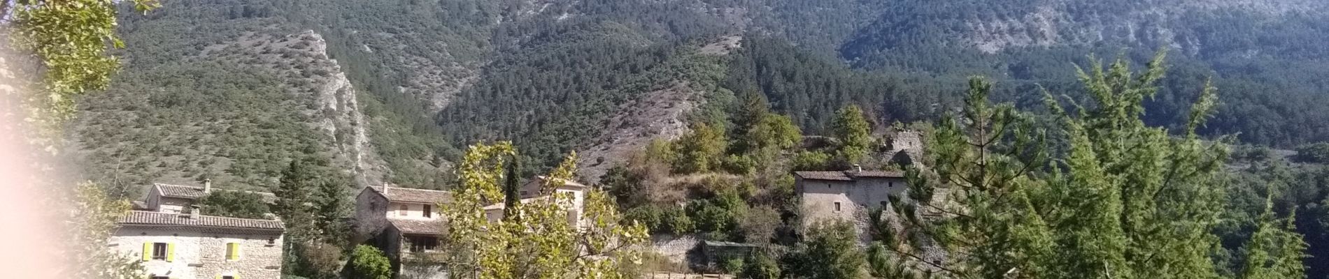
Walking

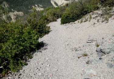
Walking

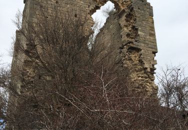
Walking

Walking

Walking
Walking
Walking
Walking
Walking