


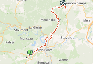


23 km | 33 km-effort

L'équitation par tous, pour tous


FREE GPS app for hiking
 SityTrail
IGN / Geographical institutes
SityTrail World
The world is yours!
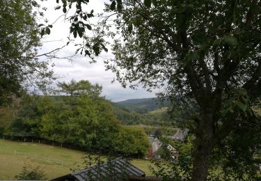
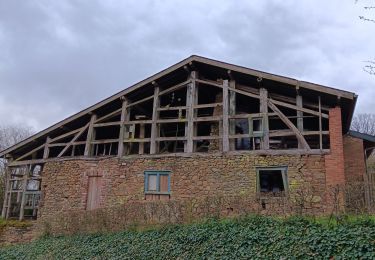
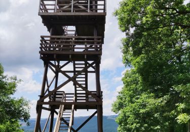
Trail Horseback riding of 24 km to be discovered at Wallonia, Liège, Trois-Ponts. This trail is proposed by Écuries du Moulin.
Retour de la rando du manège de LA Haute Levée à Francorchamps jusque Basse-Bodeux

Walking

Walking
Walking

Walking

Walking
Walking
Walking
Walking