


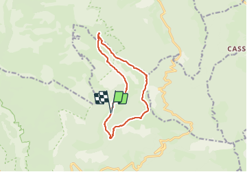

13 km | 22 km-effort

User


FREE GPS app for hiking
 SityTrail
IGN / Geographical institutes
SityTrail World
The world is yours!
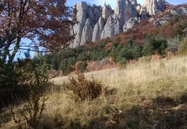
Trail Walking of 12.4 km to be discovered at Auvergne-Rhône-Alpes, Drôme, Châtillon-en-Diois. This trail is proposed by ajd26.
col de cote Chevre, col de la Lauzette, tete de Paorzel, les 4 tètes, pas de l'Essaure
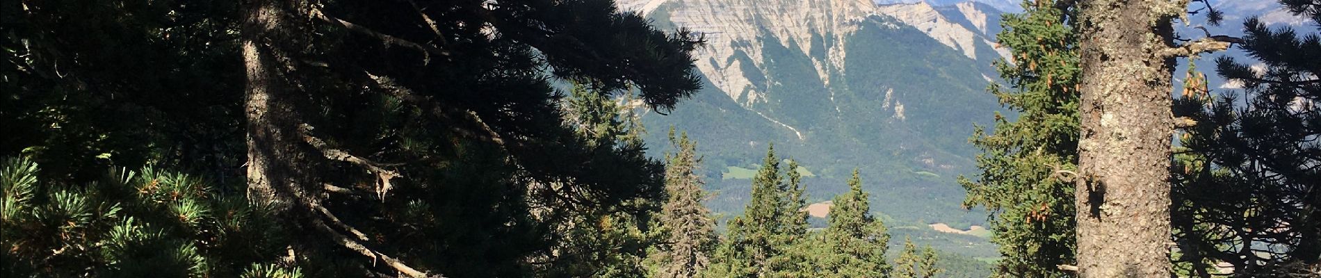
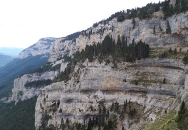
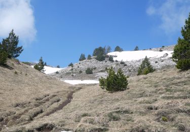
très beaux panoramas tout au long des crêtes sur le Triève, le Devoluy, l'Oisans, le mont Aiguille, et le Ventoux au sud


Walking
Walking
Walking

Walking

Walking

Walking

Walking
Walking

Walking