


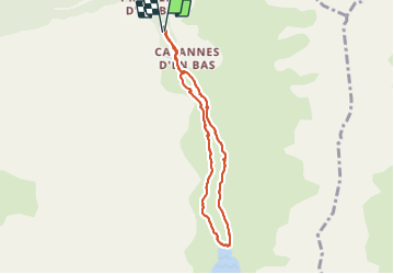

6.3 km | 18.9 km-effort

User GUIDE


FREE GPS app for hiking
 SityTrail
IGN / Geographical institutes
SityTrail World
The world is yours!
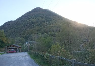
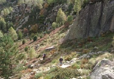
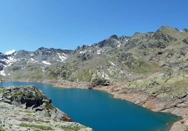
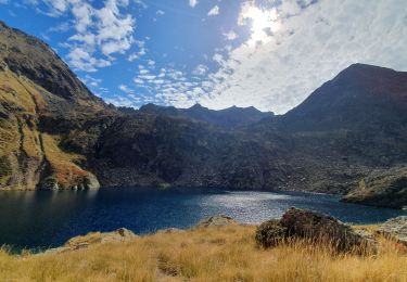
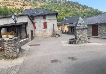
Trail Walking of 7.4 km to be discovered at Occitania, Ariège, Auzat. This trail is proposed by LouisROGER.


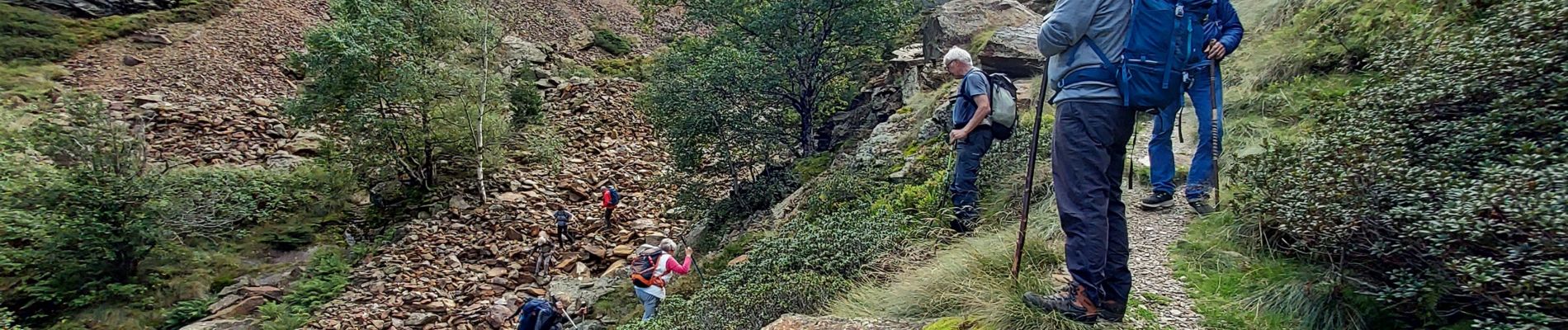
Walking

Walking
Walking
Walking

Walking
Walking
Walking
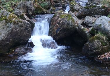
très belle ballade. juillet 2023 : le barrage est en travaux, l'étang est vide. nous avons réalisé le tour de l'étang, le panorama est magnifique mais il faut être prudent sur le sentier.