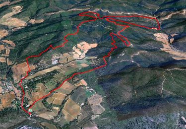
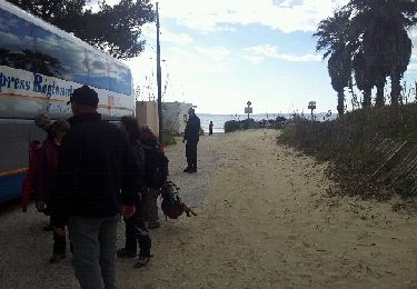
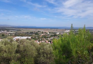
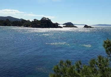
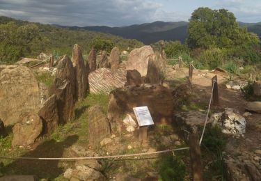
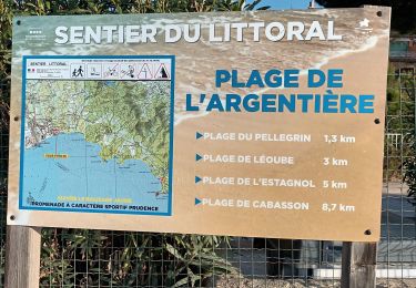
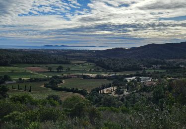
Trail Walking Hyères - Les salins 2021 sept - Photo
© OpenStreetMap contributors
Length
Length
9.6 km
Max alt
Max alt
11 m
Uphill gradient
Uphill gradient
59 m
Km-Effort
Km-Effort  
10.3 km
Min alt
Min alt
-1 m
Downhill gradient
Downhill gradient
60 m
Boucle
Boucle
No
Creation date :
2021-09-21 12:13:28.0
Updated on :
2021-09-21 14:36:08.559

(0 Reviews)

Walking
Walking
2h22
Difficulty : Medium

Scan this QR Code to open this trail in the SityTrail application

FREE GPS app for hiking

Logo SityTrail SityTrail

IGN / Geographical institutes

Download SityTrail from the App Store Download SityTrail from Google Play

Logo SityTrail SityTrail World

The world is yours!

Download SityTrail from the App Store Download SityTrail from Google Play Download SityTrail on Huawei AppGallery

About

Trail Walking of 9.6 km to be discovered at Provence-Alpes-Côte d'Azur, Var, Hyères. This trail is proposed by letoucassin.

Elevation profile

Positioning

Country:
France
Region :
Provence-Alpes-Côte d'Azur
Department/Province :
Var
Municipality :
Hyères
Location:
Unknown
Start:(UTM)
273080 ; 4777533 (32T) N.

Trails nearby

Trail Walking La Londe-les-Maures - SityTrail - Notre Dame des Maures-12-02-21 - Photo
Walking
GUIDE
affinetataille

Walking

Very difficult
(1)
La Londe-les-Maures, Provence-Alpes-Côte d'Azur, Var, France
14.3 km | 19.8 km-effort
4h 30min
Yes
Trail Walking La Londe-les-Maures - la londe des maures- fort de bregancon - Photo
Walking
BLANCHET

Walking

Medium
(2)
La Londe-les-Maures, Provence-Alpes-Côte d'Azur, Var, France
11.8 km | 13.3 km-effort
3h 46min
No
Trail Road bike Hyères - Hyères J1 P13 - Photo
Road bike
GUIDE
Specialized77

Road bike

Medium
Hyères, Provence-Alpes-Côte d'Azur, Var, France
88 km | 101 km-effort
5h 0min
Yes
Trail Walking La Londe-les-Maures - sentier du littoral Lalonde les Maures /Borne les mimosas - Photo
Walking
GUIDE
nadinebondoux

Walking

Medium
La Londe-les-Maures, Provence-Alpes-Côte d'Azur, Var, France
23 km | 28 km-effort
7h 43min
Yes
Trail Walking La Londe-les-Maures - dolmen de gautabry - Photo
Walking
giovannoni

Walking

Easy
(1)
La Londe-les-Maures, Provence-Alpes-Côte d'Azur, Var, France
10.9 km | 14.4 km-effort
3h 4min
Yes
Trail Walking La Londe-les-Maures - La Londe les Maures le col du merle et Dolmen de Gaoutabry - Photo
Walking
Yot

Walking

Medium
La Londe-les-Maures, Provence-Alpes-Côte d'Azur, Var, France
18.2 km | 24 km-effort
4h 42min
Yes
Trail Walking La Londe-les-Maures - La Londe - Dolmen de Gaoutabry (Gauttobry) - Le Rouay de la Cabre - Photo
Walking
frizou83

Walking

Difficult
(1)
La Londe-les-Maures, Provence-Alpes-Côte d'Azur, Var, France
11 km | 14.5 km-effort
3h 17min
Yes
Trail Walking La Londe-les-Maures - De l'Argentière à la Vignasse A/R 02-02-24 - Photo
Walking
Christiancordin

Walking

Medium
La Londe-les-Maures, Provence-Alpes-Côte d'Azur, Var, France
16.5 km | 18.8 km-effort
7h 26min
Yes
Trail Walking La Londe-les-Maures - Dolmen de Gaoutabry et balade dans les Maures - Photo
Walking
FSantoni

Walking

Very difficult
La Londe-les-Maures, Provence-Alpes-Côte d'Azur, Var, France
15.3 km | 21 km-effort
5h 58min
Yes


Close
My subscriptions