


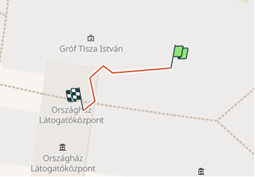

3.1 km | 4.2 km-effort


User


FREE GPS app for hiking
 SityTrail
IGN / Geographical institutes
SityTrail World
The world is yours!
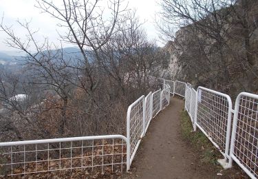
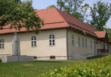
Trail Walking of 36 m to be discovered at Central Hungary, Budapest, Unknown. This trail is proposed by jcrespel.
On foot
On foot
On foot
On foot

On foot
On foot

Walking

Bicycle tourism

Walking