


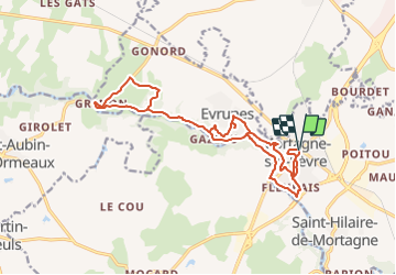

14.8 km | 17.8 km-effort


User


FREE GPS app for hiking
 SityTrail
IGN / Geographical institutes
SityTrail World
The world is yours!
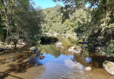
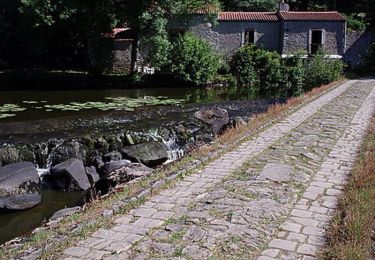
Trail Walking of 18.2 km to be discovered at Pays de la Loire, Vendée, Mortagne-sur-Sèvre. This trail is proposed by marianne guichoux.
mortagne historique(église st Pierrejardin beaussire,fontaine st Martin,grand calvaire,pont vieux,château)
moulins(Thouet,Daudet,Gazeau,Bertré,Rochereau)
jardins de la cure
Walking

Walking
Walking
Walking
Walking
Walking
Mountain bike
Walking
Walking