19.8 km | 35 km-effort
espugettes le maillet
arremoulit
User
Length
15.1 km
Max alt
2453 m
Uphill gradient
738 m
Km-Effort
26 km
Min alt
1679 m
Downhill gradient
929 m
Boucle
No
Creation date :
2021-09-14 06:02:44.189
Updated on :
2021-09-15 16:44:59.775
7h37
Difficulty : Very difficult
FREE GPS app for hiking
About
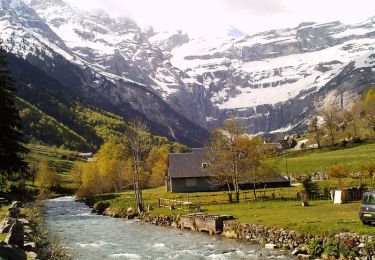
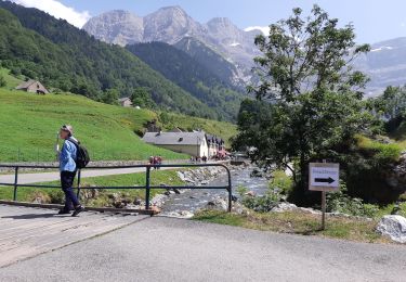
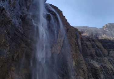
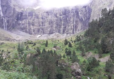
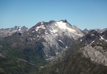
Trail Walking of 15.1 km to be discovered at Occitania, Hautespyrenees, Gavarnie-Gèdre. This trail is proposed by arremoulit.
Positioning
Country:
France
Region :
Occitania
Department/Province :
Hautespyrenees
Municipality :
Gavarnie-Gèdre
Location:
Gavarnie
Start:(Dec)
Start:(UTM)
255369 ; 4734055 (31T) N.
Comments
Trails nearby
Le Pimené par la vallée d'Estaubé - Gèbre
Walking
Difficult
(1)
Gavarnie-Gèdre,
Occitania,
Hautespyrenees,
France
9h 0min
Yes
Le Cirque de Gavarnie autrement
Walking
Medium
(2)
Gavarnie-Gèdre,
Occitania,
Hautespyrenees,
France
9.1 km | 15.6 km-effort
3h 0min
Yes
Cirque de Gavarnie et variante
Horseback riding
Easy
Gavarnie-Gèdre,
Occitania,
Hautespyrenees,
France
29 km | 37 km-effort
3h 12min
No
GAVARNIE avec Pierre D, Christine et Michel Blavit 3740150
Walking
Difficult
Gavarnie-Gèdre,
Occitania,
Hautespyrenees,
France
10.5 km | 17.2 km-effort
3h 53min
Yes
PYRENNES cirque d'Estaube
Walking
Medium
(1)
Gavarnie-Gèdre,
Occitania,
Hautespyrenees,
France
6.1 km | 8.6 km-effort
1h 56min
No
Gavarnie 4 sept 2021
Walking
Easy
Gavarnie-Gèdre,
Occitania,
Hautespyrenees,
France
12.1 km | 22 km-effort
4h 51min
No
Cirque Gavarnie
Walking
Very difficult
Gavarnie-Gèdre,
Occitania,
Hautespyrenees,
France
16.8 km | 28 km-effort
5h 0min
Yes
pic de Lary thmie fait
Walking
Medium
Gavarnie-Gèdre,
Occitania,
Hautespyrenees,
France
7.9 km | 16.6 km-effort
6h 42min
Yes
Gèdre - barrage des gloriettes
Walking
Easy
(1)
Gavarnie-Gèdre,
Occitania,
Hautespyrenees,
France
6.2 km | 8.3 km-effort
1h 57min
Yes