


12.2 km | 28 km-effort

User GUIDE


FREE GPS app for hiking
 SityTrail
IGN / Geographical institutes
SityTrail World
The world is yours!
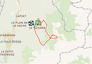
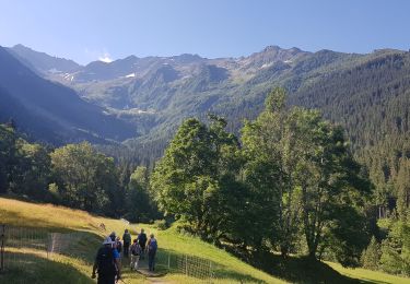
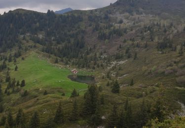
Trail Walking of 12.2 km to be discovered at Auvergne-Rhône-Alpes, Isère, Le Haut-Bréda. This trail is proposed by nadd73.
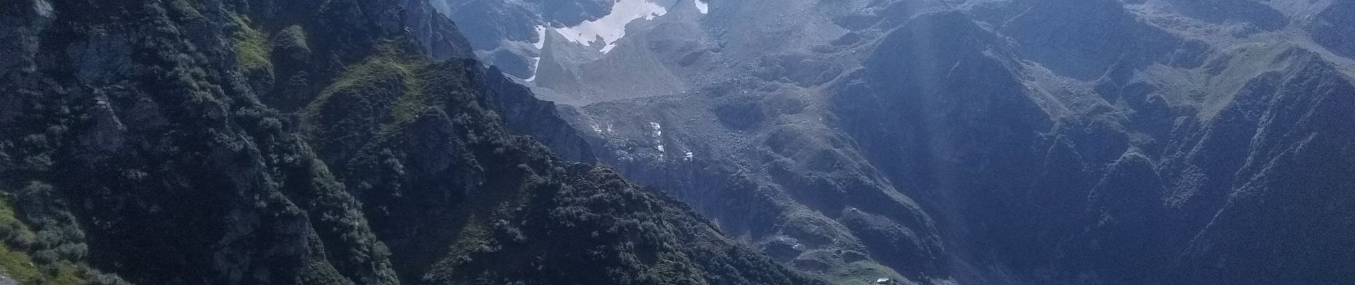
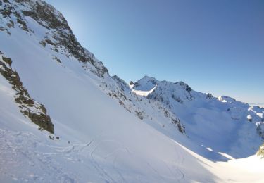
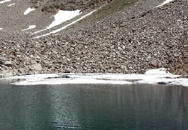
de Gleyzin, Bourgeat noire, monter comme au refuge de l'oule mais à 1570m bifurquer à gauche, au départ ça va ensuite un éboulement à défoncer le sentier. C'est raide, plein de cailloux et herbes, heureusement que les arcosses sont là. Après le col du Vay il faut mettre un peu les mains.
avant le dernier sommet il faut descendre un peu : attention raide piolet Utile. De même pour descendre la crête sud.
Attention itinéraire souvent hors sentier, raide et herbeux.
Piolet Utile


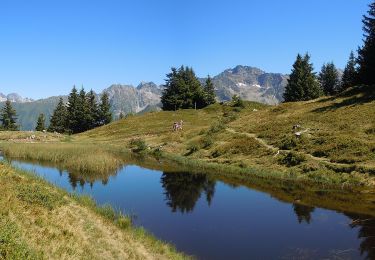
Walking
Walking
Touring skiing

Walking
Walking
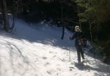
Snowshoes
On foot
Walking
Walking