


6.9 km | 10.6 km-effort

User


FREE GPS app for hiking
 SityTrail
IGN / Geographical institutes
SityTrail World
The world is yours!
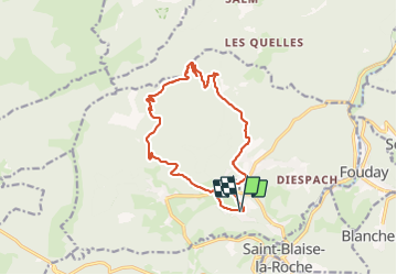
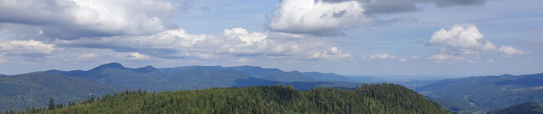
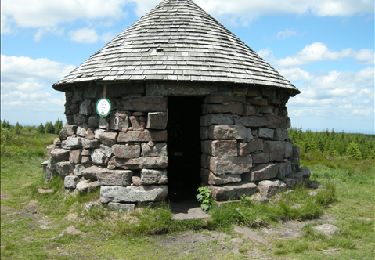
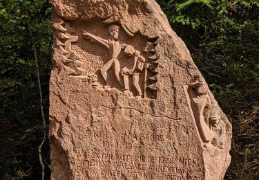
Trail Walking of 13.5 km to be discovered at Grand Est, Bas-Rhin, Plaine. This trail is proposed by VacheKiri67.
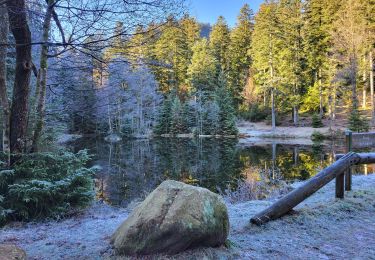
Faite le 12/09/2021. Au départ de Plaine, église Saint-Arnould.
D'après "Passion Vosges : Nos 50plus belles randonnées - 25 : Plaine et la Chatte Pendue". Durée indiquée pour le circuit : 5h00.


Walking
Walking
Walking
Walking
Walking

Horseback riding
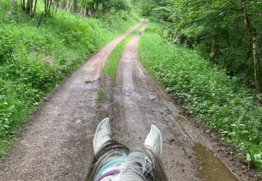
Horseback riding
Walking
