10.3 km | 13.4 km-effort
Trans en Provence
kojack
User
Length
5.3 km
Max alt
232 m
Uphill gradient
181 m
Km-Effort
7.8 km
Min alt
130 m
Downhill gradient
184 m
Boucle
Yes
Creation date :
2021-09-13 08:23:57.453
Updated on :
2021-09-13 10:28:56.498
2h04
Difficulty : Medium
FREE GPS app for hiking
About
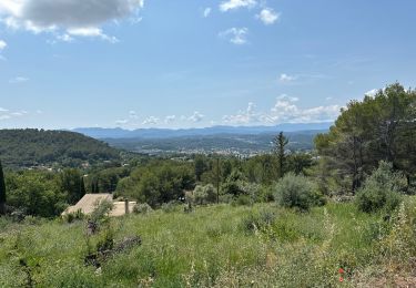
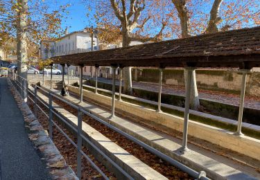
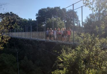
Trail Walking of 5.3 km to be discovered at Provence-Alpes-Côte d'Azur, Var, Trans-en-Provence. This trail is proposed by kojack.
Positioning
Country:
France
Region :
Provence-Alpes-Côte d'Azur
Department/Province :
Var
Municipality :
Trans-en-Provence
Location:
Unknown
Start:(Dec)
Start:(UTM)
298806 ; 4820041 (32T) N.
Comments
Trails nearby
LES ARC SUR ARGENS-Fond du Loup-LA bergerie -DRI
Walking
Difficult
(1)
Les Arcs-sur-Argens,
Provence-Alpes-Côte d'Azur,
Var,
France
3h 2min
Yes
Draguignan Malmont 10 km
Walking
Medium
Draguignan,
Provence-Alpes-Côte d'Azur,
Var,
France
10 km | 14.7 km-effort
2h 56min
Yes
Draguignan Roche aux Fées Malmont 17 km
Walking
Medium
Draguignan,
Provence-Alpes-Côte d'Azur,
Var,
France
17.2 km | 23 km-effort
5h 52min
Yes
Rocher de Roquebrune, Les 2 frères
Walking
Medium
Le Muy,
Provence-Alpes-Côte d'Azur,
Var,
France
7.8 km | 11.2 km-effort
3h 20min
No
LES ARCS - LE MUY - LA MOTTE - SAINTE ROSELINE ET VALBOURGES
Walking
Easy
Les Arcs-sur-Argens,
Provence-Alpes-Côte d'Azur,
Var,
France
9.1 km | 10.4 km-effort
6h 42min
Yes
roquebrune argens
Walking
Difficult
Le Muy,
Provence-Alpes-Côte d'Azur,
Var,
France
10.6 km | 15.9 km-effort
6h 37min
No
Musée de l’artillerie et cimetière américain 7 km
Walking
Very easy
Draguignan,
Provence-Alpes-Côte d'Azur,
Var,
France
7.3 km | 8.1 km-effort
2h 49min
Yes
Malmont 10 km
Walking
Medium
Draguignan,
Provence-Alpes-Côte d'Azur,
Var,
France
10.1 km | 15.2 km-effort
4h 32min
Yes
TRANS-Le puits aérien et la passerelle hymalayenne -MBO
Walking
Easy
(2)
Trans-en-Provence,
Provence-Alpes-Côte d'Azur,
Var,
France
8.1 km | 10.6 km-effort
2h 41min
Yes