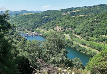
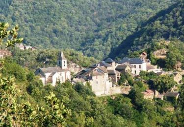
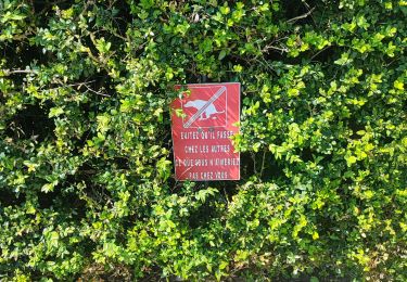
Trail Walking Viala-du-Tarn - Le Palmoulet randonnée 09/2021 - Photo

Le Palmoulet randonnée 09/2021

 J-Mi
J-Mi

User

© OpenStreetMap contributors
Length
Length
10.8 km
Max alt
Max alt
715 m
Uphill gradient
Uphill gradient
480 m
Km-Effort
Km-Effort  
17.1 km
Min alt
Min alt
412 m
Downhill gradient
Downhill gradient
461 m
Boucle
Boucle
Yes
Creation date :
2021-09-13 08:03:30.672
Updated on :
2022-02-11 14:50:29.827

(0 Reviews)

Walking
Walking
2h22
Difficulty : Medium

Scan this QR Code to open this trail in the SityTrail application

FREE GPS app for hiking

Logo SityTrail SityTrail

IGN / Geographical institutes

Download SityTrail from the App Store Download SityTrail from Google Play

Logo SityTrail SityTrail World

The world is yours!

Download SityTrail from the App Store Download SityTrail from Google Play Download SityTrail on Huawei AppGallery

About

Trail Walking of 10.8 km to be discovered at Occitania, Aveyron, Viala-du-Tarn. This trail is proposed by J-Mi.

Description

11 km

Elevation profile

Positioning

Country:
France
Region :
Occitania
Department/Province :
Aveyron
Municipality :
Viala-du-Tarn
Location:
Unknown
Start:(UTM)
483168 ; 4882382 (31T) N.

Trails nearby

Trail Walking  - J11: Ayssènes-Brousse le Château-190522 - Photo
Walking
canardDenis

Walking

Medium
, Occitania, Aveyron, France
23 km | 33 km-effort
7h 29min
No
Trail Walking  - Le chemin des Raspes - Ayssènes  - Photo
Walking
tracegps

Walking

Difficult
, Occitania, Aveyron, France
14.1 km | 23 km-effort
4h 30min
Yes
Trail Walking Le Truel - brousse le château  - Photo
Walking
tosan

Walking

Very difficult
Le Truel, Occitania, Aveyron, France
19.8 km | 28 km-effort
9h 4min
No
Trail Walking Le Truel - costecalde - Photo
Walking
Pascal Lemaire

Walking

Medium
Le Truel, Occitania, Aveyron, France
8.7 km | 12.7 km-effort
2h 54min
Yes
Trail Walking Le Truel - le truel in live raccourci - Photo
Walking
CASSISFRAMBOISE

Walking

Medium
Le Truel, Occitania, Aveyron, France
11.2 km | 18.9 km-effort
3h 17min
Yes
Trail Walking  - randonnée estivale st Victor et melvieu  - Photo
Walking
Pascal Lemaire

Walking

Difficult
, Occitania, Aveyron, France
11.8 km | 16 km-effort
2h 52min
Yes
Trail Walking Ayssènes - Le DEZERAC retracé - Photo
Walking
CASSISFRAMBOISE

Walking

Very difficult
Ayssènes, Occitania, Aveyron, France
13.2 km | 22 km-effort
4h 58min
Yes
Trail Walking Le Truel - 12_Le_Truel_longue - Photo
Walking
jab31

Walking

Medium
Le Truel, Occitania, Aveyron, France
15.5 km | 25 km-effort
4h 41min
Yes
Trail Electric bike Le Truel - boucle pen st rome st aff - Photo
Electric bike
yvesconnes

Electric bike

Difficult
Le Truel, Occitania, Aveyron, France
72 km | 95 km-effort
6h 24min
Yes


Close
My subscriptions