


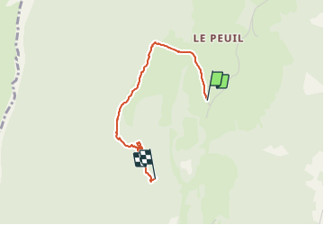

9.1 km | 13.8 km-effort

User


FREE GPS app for hiking
 SityTrail
IGN / Geographical institutes
SityTrail World
The world is yours!
Trail Walking of 2.5 km to be discovered at Auvergne-Rhône-Alpes, Isère, Claix. This trail is proposed by crocau.
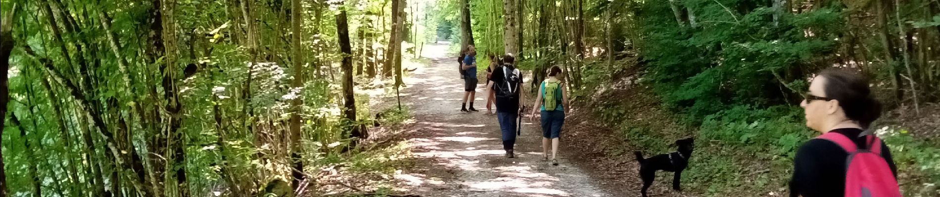
Balade extrêmement facile qui permet de tester des débutants, seniors et de se faire plaisir surtout au salon de thé Le Crêt du Loup


Nordic walking

Walking

Walking

Snowshoes

Walking

Walking

Mountain bike

Walking

Snowshoes