


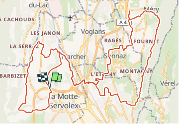

27 km | 40 km-effort


User


FREE GPS app for hiking
 SityTrail
IGN / Geographical institutes
SityTrail World
The world is yours!
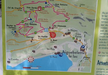
Trail Mountain bike of 38 km to be discovered at Auvergne-Rhône-Alpes, Savoy, La Motte-Servolex. This trail is proposed by baudrine.
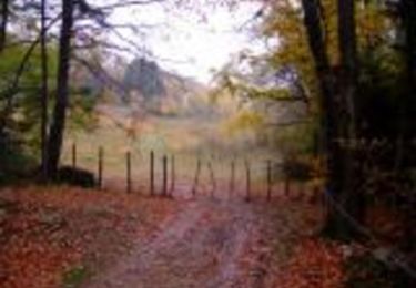
Sortie de reprise d'activité. Pas mal de route et quelques belles mono-traces.
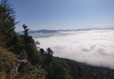
Sortie tranquille.
Mountain bike
Trail

Mountain bike
Walking
Walking
Hybrid bike
Walking
Walking
Mountain bike