


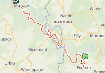

13.4 km | 18.8 km-effort


User


FREE GPS app for hiking
 SityTrail
IGN / Geographical institutes
SityTrail World
The world is yours!
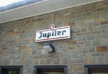
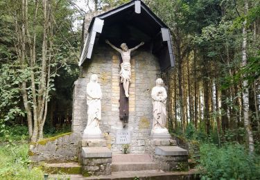
Trail Walking of 14.6 km to be discovered at Wallonia, Luxembourg, Houffalize. This trail is proposed by le koyote.
rando du 2eme jour du packraft trail, sans le packraft.
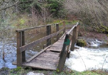
assez difficile par passage car emprunté des pistes noires. passage également via des cordes pour descendre et monter.
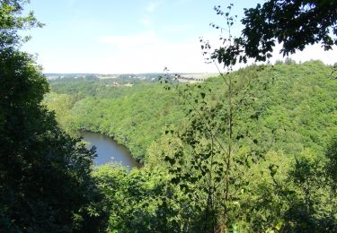
de superbe point de vue et à découvrir.
Walking

Walking

Walking
Walking

Walking
Walking

Walking
Walking
Walking