


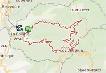

16.6 km | 33 km-effort


User


FREE GPS app for hiking
 SityTrail
IGN / Geographical institutes
SityTrail World
The world is yours!
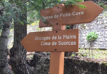
Trail Hybrid bike of 31 km to be discovered at Provence-Alpes-Côte d'Azur, Maritime Alps, La Bollène-Vésubie. This trail is proposed by jpbaudoin.
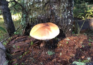
montée piste forestière de malagrata et la brasca jusqu'à vacheries de mantega (tome du pays) puis Camp d'argent (tarte aux myrtilles chez Jean Jean au restaurant de l'Authion) descente sur la Bollène par la route.

Walking
Walking

On foot

On foot

Walking
Walking
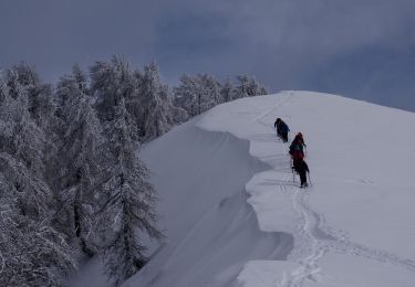
Snowshoes
Walking
Walking