


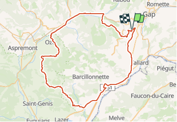

41 km | 60 km-effort

User


FREE GPS app for hiking
 SityTrail
IGN / Geographical institutes
SityTrail World
The world is yours!
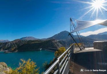
Trail Road bike of 85 km to be discovered at Provence-Alpes-Côte d'Azur, Hautes-Alpes, Gap. This trail is proposed by gibello.
col faye.. col lacroix..col bachassette..


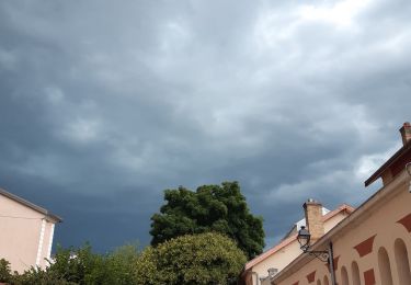
Walking
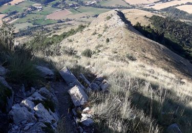
Walking
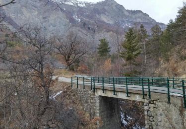
Walking
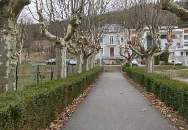
Walking
Walking
Walking
Walking
Road bike

Walking