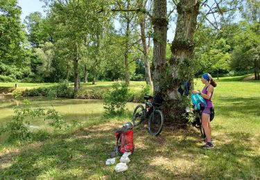
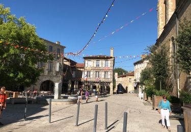
28 km | 33 km-effort
N’égarons
Patmilord
User
Length
32 km
Max alt
180 m
Uphill gradient
442 m
Km-Effort
38 km
Min alt
94 m
Downhill gradient
484 m
Boucle
No
Creation date :
2021-09-04 06:17:36.0
Updated on :
2021-09-04 16:15:44.953
7h15
Difficulty : Very difficult
FREE GPS app for hiking
About
Trail Walking of 32 km to be discovered at Occitania, Gers, Cazeneuve. This trail is proposed by Patmilord.
Positioning
Country:
France
Region :
Occitania
Department/Province :
Gers
Municipality :
Cazeneuve
Location:
Unknown
Start:(Dec)
Start:(UTM)
271469 ; 4865229 (31T) N.
Comments
Trails nearby
Montréal du gers, eauze,aire sur adour,
Mountain bike
Medium
Montréal,
Occitania,
Gers,
France
68 km | 80 km-effort
9h 21min
No
Compostelle Montréal a Manciet
Walking
Easy
Montréal,
Occitania,
Gers,
France
33 km | 38 km-effort
5h 39min
No
Eauze, sentier des moulins.
Walking
Easy
Eauze,
Occitania,
Gers,
France
11.2 km | 13 km-effort
3h 15min
No
Le Chemin des Moulins
Walking
Easy
Eauze,
Occitania,
Gers,
France
10.4 km | 12.2 km-effort
2h 15min
Yes
StJ-J37-Laboge-Nogaro
Walking
Very difficult
Bretagne-d'Armagnac,
Occitania,
Gers,
France
27 km | 32 km-effort
6h 56min
No
le coupé eauze ste christie 15.7.2017
Walking
Very easy
Eauze,
Occitania,
Gers,
France
25 km | 29 km-effort
5h 23min
No