


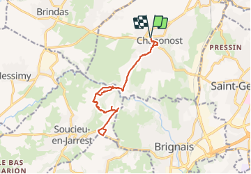

10.3 km | 13.1 km-effort


User


FREE GPS app for hiking
 SityTrail
IGN / Geographical institutes
SityTrail World
The world is yours!
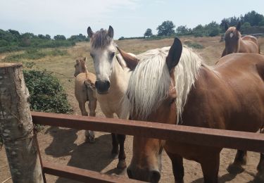
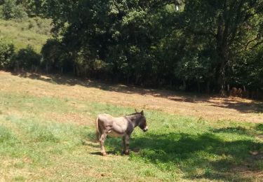
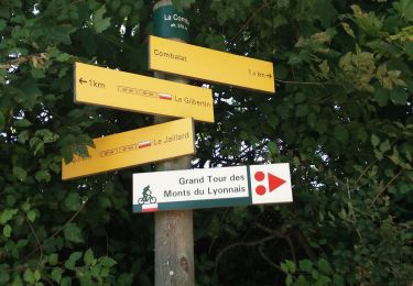
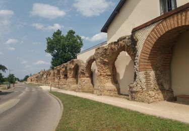
Trail Walking of 15 km to be discovered at Auvergne-Rhône-Alpes, Rhône, Chaponost. This trail is proposed by maclobar.
retour. pas de trajet sur la départementale. dangereux
Walking

Mountain bike
Walking

Walking
Walking
Walking
Walking
Walking
Walking
agréable randonnée mais AR imprévu du fait d'un passage de 4km proposé sur une départementale très passante en direction de Brignais. sinon rivière et ombragée.