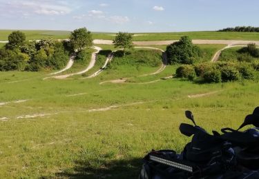
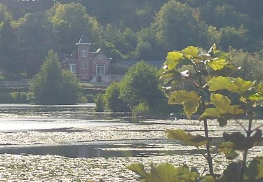
50 km | 58 km-effort
30 juil. 2019 14:04:21
Eric Bottin
User
Length
103 km
Max alt
136 m
Uphill gradient
1414 m
Km-Effort
122 km
Min alt
27 m
Downhill gradient
1382 m
Boucle
No
Creation date :
2021-09-02 00:33:48.436
Updated on :
2021-09-10 15:01:46.287
--
Difficulty : Medium
FREE GPS app for hiking
About
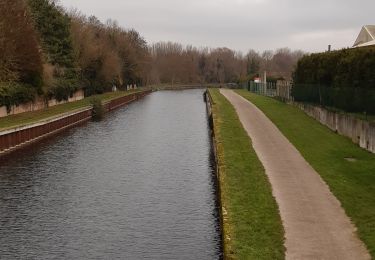
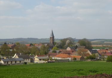
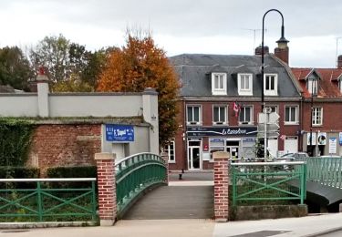
Trail Quad of 103 km to be discovered at Hauts-de-France, Somme, Fouilloy. This trail is proposed by Eric Bottin.
Description
corbie fouiloy boves cottenchy jumel berny ailly sur somme falloise
Positioning
Country:
France
Region :
Hauts-de-France
Department/Province :
Somme
Municipality :
Fouilloy
Location:
Unknown
Start:(Dec)
Start:(UTM)
464435 ; 5527326 (31U) N.
Comments
Trails nearby
50 km la SOMALUANCRE Corbie 2014
Mountain bike
Medium
(1)
Corbie,
Hauts-de-France,
Somme,
France
3h 50min
Yes
Les rives de Somme de Corbie à Amiens
Walking
Medium
Corbie,
Hauts-de-France,
Somme,
France
21 km | 22 km-effort
4h 31min
No
Les Deux Chapelles
On foot
Easy
Le Hamel,
Hauts-de-France,
Somme,
France
8.3 km | 9.7 km-effort
2h 12min
Yes
Les Étangs de Corbie
On foot
Easy
Corbie,
Hauts-de-France,
Somme,
France
9.1 km | 9.7 km-effort
2h 11min
Yes
Le Passage aux Loups
On foot
Easy
Daours,
Hauts-de-France,
Somme,
France
13.9 km | 15.9 km-effort
3h 36min
Yes
quad sortie de vaux sur somme
Quad
Very easy
(1)
Corbie,
Hauts-de-France,
Somme,
France
85 km | 98 km-effort
Unknown
Yes
quad_sortie_de_vaux_sur_somme
Quad
Very easy
Vaux-sur-Somme,
Hauts-de-France,
Somme,
France
54 km | 62 km-effort
Unknown
Yes
quad Corbie Naours heilly
Quad
Very easy
Corbie,
Hauts-de-France,
Somme,
France
89 km | 105 km-effort
35min
Yes
les étangs de Corbie
Walking
Easy
Corbie,
Hauts-de-France,
Somme,
France
9 km | 9.6 km-effort
2h 19min
Yes