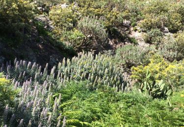
Trail Walking Santa Cruz de Tenerife - Canaries - Tenerife - Massif d'Anaga/Afur - jour 10 - Photo

Canaries - Tenerife - Massif d'Anaga/Afur - jour 10

 fhascoet
fhascoet

User

© OpenStreetMap contributors
Length
Length
10.2 km
Max alt
Max alt
624 m
Uphill gradient
Uphill gradient
697 m
Km-Effort
Km-Effort  
19.4 km
Min alt
Min alt
5 m
Downhill gradient
Downhill gradient
694 m
Boucle
Boucle
Yes
Creation date :
2021-09-01 09:32:35.484
Updated on :
2021-09-06 18:05:54.859

(0 Reviews)

Walking
Walking
6h54
Difficulty : Very difficult

Scan this QR Code to open this trail in the SityTrail application

FREE GPS app for hiking

Logo SityTrail SityTrail

IGN / Geographical institutes

Download SityTrail from the App Store Download SityTrail from Google Play

Logo SityTrail SityTrail World

The world is yours!

Download SityTrail from the App Store Download SityTrail from Google Play Download SityTrail on Huawei AppGallery

About

Trail Walking of 10.2 km to be discovered at Canary Islands, Santa Cruz de Tenerife, Santa Cruz de Tenerife. This trail is proposed by fhascoet.

Description

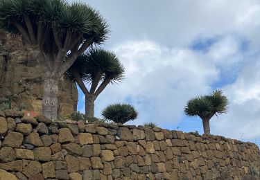
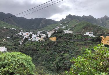
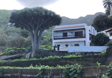
Départ du petit village d'Afur au bout d'une très belle route serpentant dans la montagne.
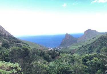
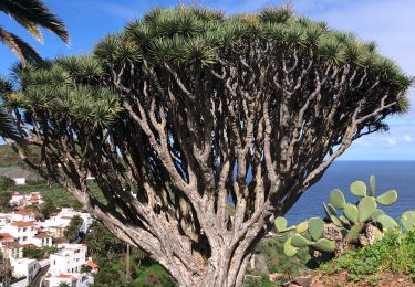
Très belle descente dans le barranco jusqu’à la mer ( baignade très difficile à cause des cailloux et des rouleaux)
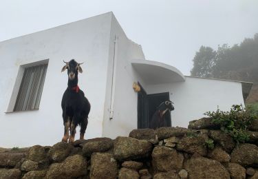
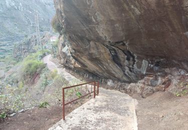
Remontée par un ancien chemin, peu entretenu, jusqu'au village de Taborno. Cette montée est très belle mais difficile avec quelque passages dans les broussailles.
Retour à Afur partiellement par la route.
Durée avec les arrêts  (déjeuner à la plage ...)

Elevation profile

Positioning

Country:
Spain
Region :
Canary Islands
Department/Province :
Santa Cruz de Tenerife
Municipality :
Santa Cruz de Tenerife
Location:
Anaga
Start:(UTM)
377906 ; 3159383 (28R) N.

Trails nearby

Trail Walking San Cristóbal de La Laguna - Massif de l'Anaga El Batan Chinamada - Photo
Walking
GUIDE
jouans

Walking

Very difficult
San Cristóbal de La Laguna, Canary Islands, Santa Cruz de Tenerife, Spain
10.8 km | 21 km-effort
4h 45min
Yes
Trail On foot Tegueste - El bosque de los enigmas - Photo
On foot
GUIDE+

On foot

Easy
(1)
Tegueste, Canary Islands, Santa Cruz de Tenerife, Spain
4.5 km | 6.7 km-effort
1h 31min
Yes
Trail Walking Santa Cruz de Tenerife - 20230128 boucle Tâcheron - Amalciga  - Photo
Walking
ThonyM

Walking

Medium
Santa Cruz de Tenerife, Canary Islands, Santa Cruz de Tenerife, Spain
12.9 km | 22 km-effort
3h 9min
No
Trail Walking Santa Cruz de Tenerife - 20230125 Tachero-Taganana-Casa Forestal  - Photo
Walking
ThonyM

Walking

Difficult
Santa Cruz de Tenerife, Canary Islands, Santa Cruz de Tenerife, Spain
13 km | 25 km-effort
3h 47min
No
Trail Walking Santa Cruz de Tenerife - 20230123 Tachero-Taganana-Afur-Tamarides-Taganana - Photo
Walking
ThonyM

Walking

Difficult
Santa Cruz de Tenerife, Canary Islands, Santa Cruz de Tenerife, Spain
16 km | 29 km-effort
4h 37min
Yes
Trail Walking Santa Cruz de Tenerife - 20230121 Tacheros-Taganana- el Baleiros - Photo
Walking
ThonyM

Walking

Medium
Santa Cruz de Tenerife, Canary Islands, Santa Cruz de Tenerife, Spain
12.9 km | 23 km-effort
3h 14min
No
Trail Walking San Cristóbal de La Laguna - Las Carbonaras Chimada AR - Photo
Walking
jll7513

Walking

Easy
(1)
San Cristóbal de La Laguna, Canary Islands, Santa Cruz de Tenerife, Spain
5.7 km | 8.8 km-effort
1h 35min
Yes
Trail Walking Santa Cruz de Tenerife - Afur - Taganana - Photo
Walking
GUIDE
romanceline

Walking

Medium
Santa Cruz de Tenerife, Canary Islands, Santa Cruz de Tenerife, Spain
12.3 km | 22 km-effort
4h 53min
Yes
Trail On foot Santa Cruz de Tenerife - Pico del Ingles circulaire - Photo
On foot
jolyjump

On foot

Medium
Santa Cruz de Tenerife, Canary Islands, Santa Cruz de Tenerife, Spain
9.2 km | 17 km-effort
4h 0min
Yes


Close
My subscriptions