


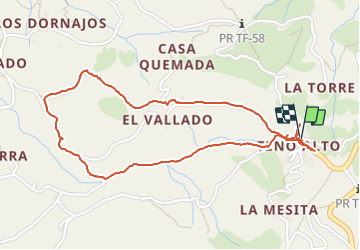

8 km | 14.4 km-effort


User


FREE GPS app for hiking
 SityTrail
IGN / Geographical institutes
SityTrail World
The world is yours!
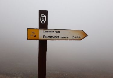
Trail Walking of 3.1 km to be discovered at Canary Islands, Santa Cruz de Tenerife, Buenavista del Norte. This trail is proposed by fhascoet.
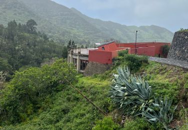
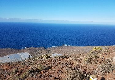
La route pour venir à Teno Alto est très belle et offre de beaux "miradores"
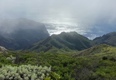
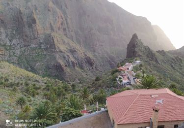
Petite randonnée rapide avec de très belles vues
Walking

Walking
Walking
Trail
Walking
Walking
Walking

Walking
Walking