


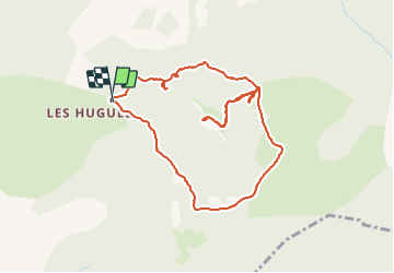

12.9 km | 21 km-effort


User


FREE GPS app for hiking
 SityTrail
IGN / Geographical institutes
SityTrail World
The world is yours!
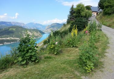
Trail Walking of 4.9 km to be discovered at Provence-Alpes-Côte d'Azur, Alpes-de-Haute-Provence, Pontis. This trail is proposed by damlou.
point de départ prendte à droite vers le Lauzet Ubaye
pas à gauche vers vol Morgonnet
Balade à l'envers

Walking

Walking

Walking

Walking
Walking
Walking
Walking

Mountain bike
Walking
A la bifurcation départ suivre pierrier devant arbre à gauche