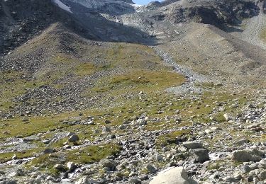
8.5 km | 12.1 km-effort
Tête de Valpelline retour Place Moulin
mpignon
User
Length
20 km
Max alt
3786 m
Uphill gradient
1153 m
Km-Effort
38 km
Min alt
1953 m
Downhill gradient
1948 m
Boucle
No
Creation date :
2021-08-30 04:06:29.34
Updated on :
2021-08-31 06:56:07.908
9h30
Difficulty : Difficult
FREE GPS app for hiking
About
Trail Other activity of 20 km to be discovered at Aosta Valley, Unknown, Bionaz. This trail is proposed by mpignon.
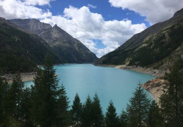
Positioning
Country:
Italy
Region :
Aosta Valley
Department/Province :
Unknown
Municipality :
Bionaz
Location:
Unknown
Start:(Dec)
Start:(UTM)
388546 ; 5091672 (32T) N.
Comments
Trails nearby
Itinerario 11 Diga di Bionaz Alpeggio Bella Tsa
On foot
Easy
Bionaz,
Aosta Valley,
Unknown,
Italy
2h 44min
No
Verbier/Zermat (Cabane Bertol-Zermatt)
Winter sports
Very easy
Evolène,
Valais/Wallis,
Hérens,
Switzerland
22 km | 42 km-effort
4h 0min
No
Accesso Bivacco Tete Des Roeses Da Alpe Bella Tsa
On foot
Easy
Bionaz,
Aosta Valley,
Unknown,
Italy
3.2 km | 6 km-effort
1h 21min
No
Col du Collon Refuge Parayer Tour du Cervin
Other activity
Very easy
Evolène,
Valais/Wallis,
Hérens,
Switzerland
8.4 km | 12.6 km-effort
4h 3min
No
Bertol - Tete blanche
Other activity
Very easy
Evolène,
Valais/Wallis,
Hérens,
Switzerland
5 km | 10.6 km-effort
Unknown
No
Tour de Bertol à Arolla par le mont Brûlé
Other activity
Very easy
Evolène,
Valais/Wallis,
Hérens,
Switzerland
22 km | 43 km-effort
Unknown
No
Lac Place Moulins vers Refuge Nacamuti
Walking
Medium
Bionaz,
Aosta Valley,
Unknown,
Italy
9.2 km | 16.2 km-effort
4h 2min
No
Tête blanche depuis cabane Bertol Caf Bourges
Climbing
Medium
Evolène,
Valais/Wallis,
Hérens,
Switzerland
18.6 km | 32 km-effort
10h 25min
No
Refuge Nacamuli-Cabane Bertol
Walking
Difficult
Bionaz,
Aosta Valley,
Unknown,
Italy
10.9 km | 24 km-effort
5h 50min
No