


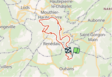

14.8 km | 23 km-effort

User


FREE GPS app for hiking
 SityTrail
IGN / Geographical institutes
SityTrail World
The world is yours!
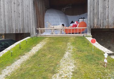
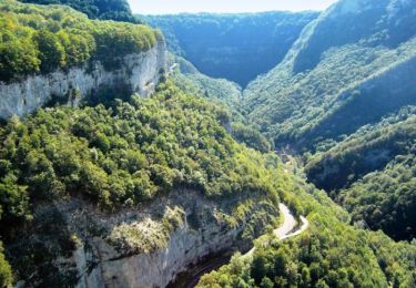
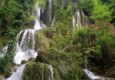
Trail Walking of 16.5 km to be discovered at Bourgogne-Franche-Comté, Doubs, Ouhans. This trail is proposed by fab0202.
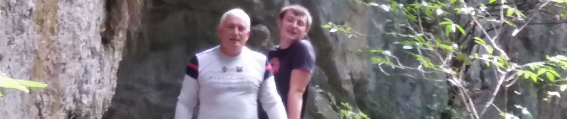
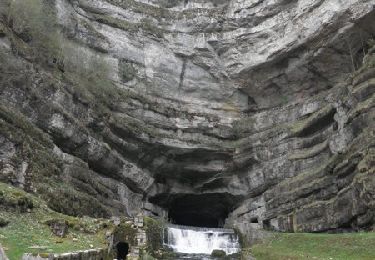
belle rando dans les gorges noailles avec differents points de vue sur des cascades, sources, grotte des faux monnayeurs et belvederes. randonnée ombragée avec pas mal de forêt.


Walking

Walking
Walking
Walking
Walking

On foot

Walking
Walking
Walking