


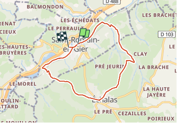

7.3 km | 9.5 km-effort


User


FREE GPS app for hiking
 SityTrail
IGN / Geographical institutes
SityTrail World
The world is yours!
Trail Walking of 7.9 km to be discovered at Auvergne-Rhône-Alpes, Rhône, Saint-Romain-en-Gier. This trail is proposed by B-Arsac.
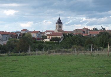
St-Romain Echalas
Walking

Walking

Walking

Walking
Walking


sport

Walking
Walking
Walking
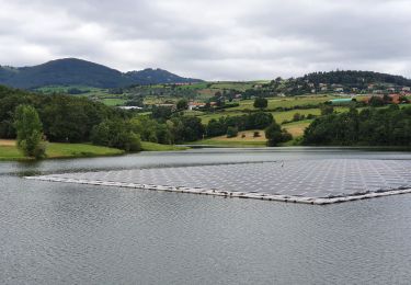
balade agréable mais 2 bémols : le bruit de la route sur la moitié du trajet, et route le long de l'autoroute sur les derniers km