


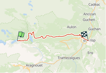

11.6 km | 28 km-effort

User


FREE GPS app for hiking
 SityTrail
IGN / Geographical institutes
SityTrail World
The world is yours!
Trail Walking of 23 km to be discovered at Occitania, Hautespyrenees, Saint-Lary-Soulan. This trail is proposed by LEGUE.
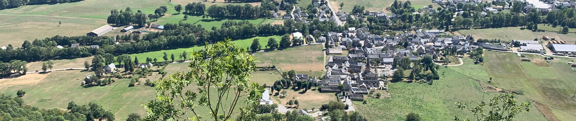
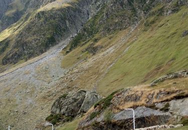
Étape de de liaison sans grande difficulté sauf au départ jusqu’au Col D’Estoudou …
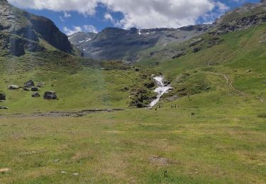
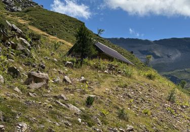
Passage par la cabane du Bastan…
Dénivelés conséquents !!!
Grand beau


Walking

Walking

Walking

Walking
Walking
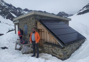
Snowshoes
Walking

Walking

sport