


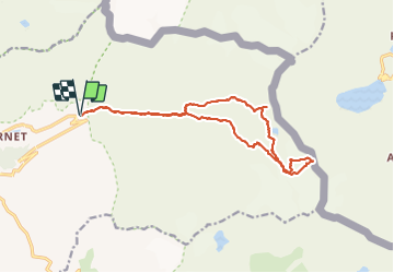


13.9 km | 27 km-effort

User GUIDE


FREE GPS app for hiking
 SityTrail
IGN / Geographical institutes
SityTrail World
The world is yours!
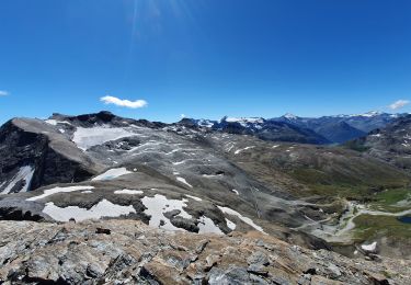
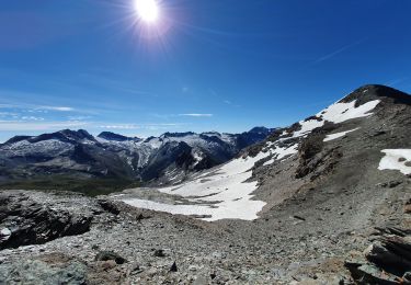
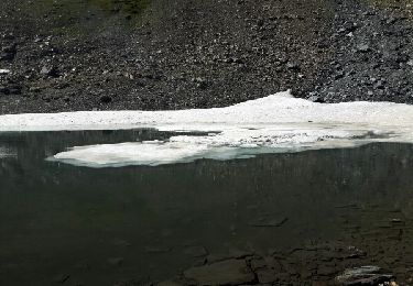
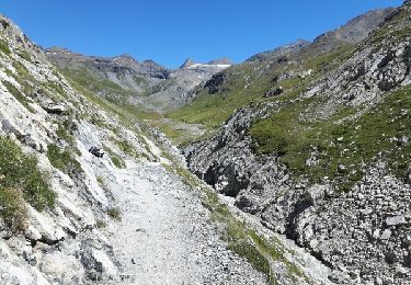
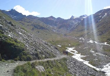
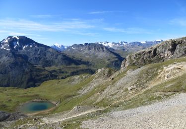
Trail Walking of 17 km to be discovered at Auvergne-Rhône-Alpes, Savoy, Val-d'Isère. This trail is proposed by amiral13.
attention il s'agit d'une course d'alpinisme souvent hors sentiers utilisation du matériel pour le glacier


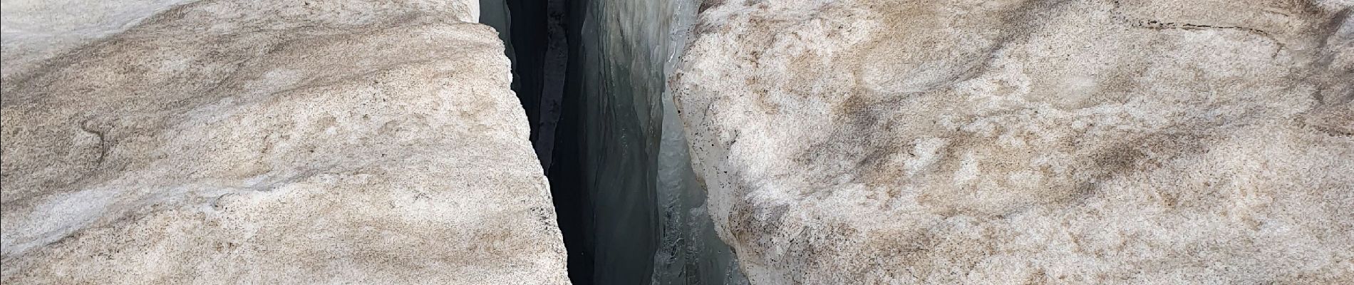
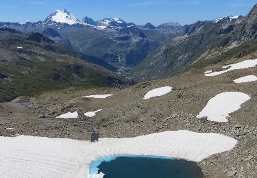
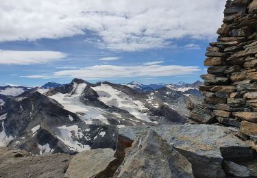
21 photos in total. Please click on a photo to see them all in the gallery.
Walking

Walking
Walking
Walking
Walking
Walking
Walking
Walking
Walking