12.7 km | 15.4 km-effort
Cléger vallée du Scorff
jackalv
User
Length
11.9 km
Max alt
97 m
Uphill gradient
226 m
Km-Effort
14.9 km
Min alt
15 m
Downhill gradient
226 m
Boucle
Yes
Creation date :
2021-08-20 11:57:44.984
Updated on :
2021-08-20 17:56:31.107
4h16
Difficulty : Medium
FREE GPS app for hiking
About
Trail Walking of 11.9 km to be discovered at Brittany, Morbihan, Cléguer. This trail is proposed by jackalv.
Description
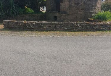
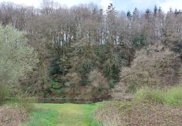
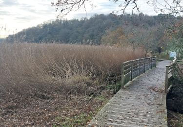
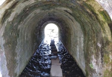
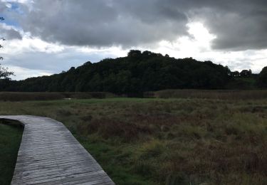
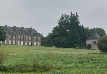
Très belle rando très fleurie au bord du Scorff
Positioning
Country:
France
Region :
Brittany
Department/Province :
Morbihan
Municipality :
Cléguer
Location:
Unknown
Start:(Dec)
Start:(UTM)
472177 ; 5302941 (30T) N.
Comments
Trails nearby
PR_56_¨Plouay_AA_01_Circuit1b_De-Manehouarn-Au-Scorff_20240904
Walking
Easy
Plouay,
Brittany,
Morbihan,
France
3h 30min
Yes
PR_56_Calan_AA_01_Circuit1b_Du-Lech_20240508
Walking
Very easy
Calan,
Brittany,
Morbihan,
France
8.8 km | 9.7 km-effort
2h 2min
Yes
PR_56_Cleguer_AA_01_Circuit1b_De-Coet-Letune_20240330
Walking
Easy
Cléguer,
Brittany,
Morbihan,
France
8.9 km | 10.8 km-effort
2h 27min
Yes
PR_56_Pont-Scorff_AA_01_Circuit1b_De-St-Urchaud_20231125
Walking
Difficult
Pont-Scorff,
Brittany,
Morbihan,
France
13.5 km | 16.2 km-effort
3h 41min
Yes
Boucle Pont-scorff
Walking
Medium
Cléguer,
Brittany,
Morbihan,
France
15.4 km | 18.7 km-effort
4h 19min
Yes
pont-scorff st hurchaud
Walking
Easy
(1)
Cléguer,
Brittany,
Morbihan,
France
10.8 km | 13.2 km-effort
2h 19min
Yes
56-57b-Cleguer-Le Scorff-Corrigée
Walking
Very difficult
Cléguer,
Brittany,
Morbihan,
France
15 km | 19 km-effort
5h 42min
Yes