


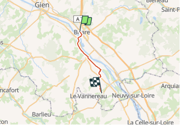


16.6 km | 18.7 km-effort


User


FREE GPS app for hiking
 SityTrail
IGN / Geographical institutes
SityTrail World
The world is yours!
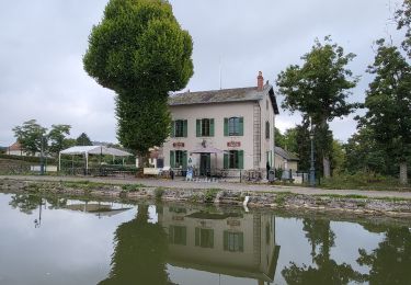
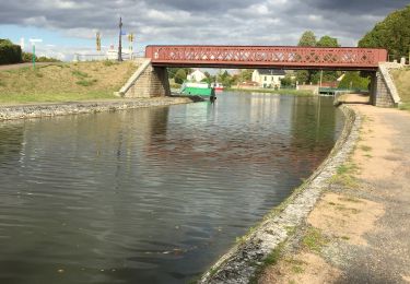
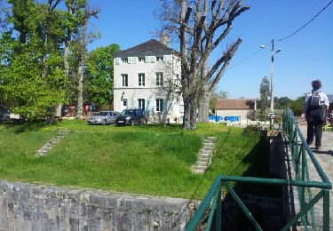
Trail of 16.4 km to be discovered at Centre-Loire Valley, Loiret, Briare. This trail is proposed by manudinovi.
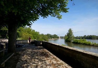
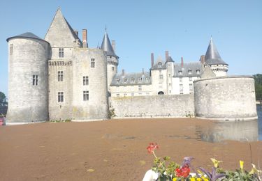
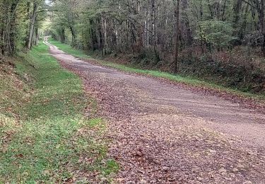
Walking
Bicycle tourism

Walking
Walking

Walking

Motorboat
Walking
Walking