


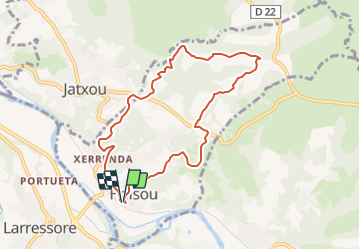

9.2 km | 14.1 km-effort


User


FREE GPS app for hiking
 SityTrail
IGN / Geographical institutes
SityTrail World
The world is yours!
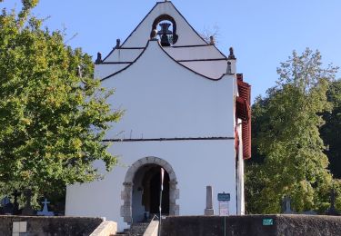
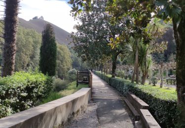
Trail On foot of 8.4 km to be discovered at New Aquitaine, Pyrénées-Atlantiques, Halsou. This trail is proposed by Naitsirk.
parcours balisé jaune
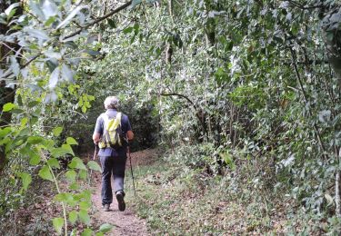
Petits vallons frais et humide
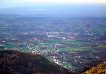
Plusieurs vues panoramiques sur les collines basques
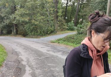
Un passage un peu raide, des cordes ont été installées pour aider.

Walking
Walking

Walking

Walking

Walking
Walking
Walking
Walking
Walking