![Trail Car Wangerland - 2021-08-18 - Photo](https://media.geolcdn.com/t/1900/400/ext.pjpeg?maxdim=2&url=https%3A%2F%2Fstatic1.geolcdn.com%2Fsiteimages%2Fupload%2Ffiles%2F15247431544x4.jpg)
2021-08-18
Dr. Henry de Buhr
User
![Length](/images/other/stat-length.png)
Length
37 km
![Max alt](https://static1.geolcdn.com/siteimages/upload/files/1508320355ic_sort_altitude_max_24dp.png)
Max alt
4 m
![Uphill gradient](https://static1.geolcdn.com/siteimages/upload/files/1508320355ic_sort_den_pos_24dp.png)
Uphill gradient
93 m
![Km-Effort](/images/other/stat-length.png)
Km-Effort
38 km
![Min alt](https://static1.geolcdn.com/siteimages/upload/files/1508320355ic_sort_altitude_min_24dp.png)
Min alt
-4 m
![Downhill gradient](https://static1.geolcdn.com/siteimages/upload/files/1508320355ic_sort_den_neg_24dp.png)
Downhill gradient
92 m
![Boucle](https://static1.geolcdn.com/siteimages/upload/files/16400158638029165_repeat_loop_refresh_sync_direction_icon.png)
Boucle
No
Creation date :
2021-08-18 15:59:50.033
Updated on :
2021-08-18 19:50:26.458
![Car](https://static1.geolcdn.com/sitytour/trail-icons/401.png)
3h02
Difficulty : Very easy
![Scan this QR Code to open this trail in the SityTrail application](https://capi.geolives.com/qq0zvz2zws4bq2lad0pu/sitytour/trails/2903887/qr.png?size=200)
FREE GPS app for hiking
About
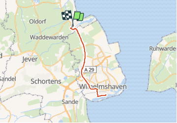
Trail Car of 37 km to be discovered at Lower Saxony, Landkreis Friesland, Wangerland. This trail is proposed by Dr. Henry de Buhr.
Positioning
Country:
Germany
Region :
Lower Saxony
Department/Province :
Landkreis Friesland
Municipality :
Wangerland
Location:
Unknown
Start:(Dec)
Start:(UTM)
435214 ; 5942354 (32U) N.
Comments
Trails nearby