


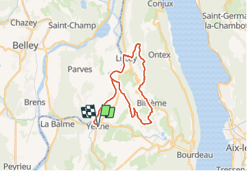

14.2 km | 21 km-effort


User


FREE GPS app for hiking
 SityTrail
IGN / Geographical institutes
SityTrail World
The world is yours!
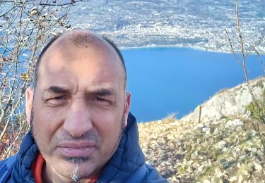
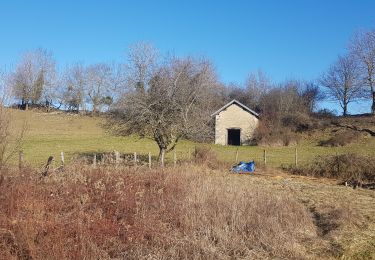
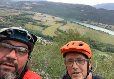
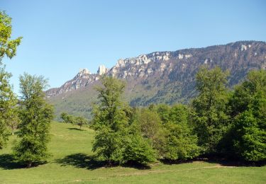
Trail Mountain bike of 29 km to be discovered at Auvergne-Rhône-Alpes, Savoy, Yenne. This trail is proposed by jeannot01.
Un super parcourt à faire absolument.
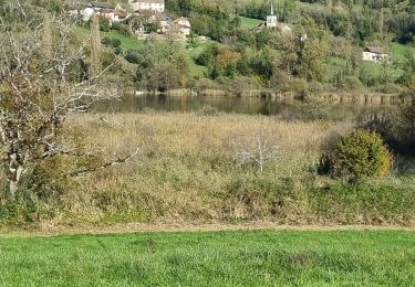
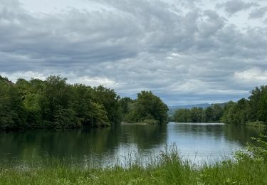
Du plat pour commencer et finir le long du Rhône.
Et au milieu, de belles grimpettes, une super vue sur les vignes et les montagnes et des descentes magnifiques quelques fois un peu techniques.
Parcourt quand même difficile mais à faire.
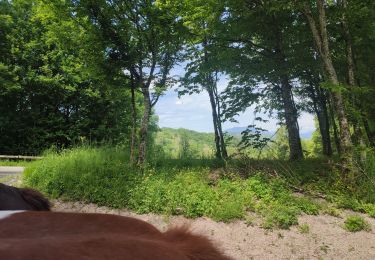
Horseback riding
Walking
Walking
Walking
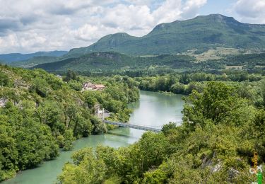
Road bike

Walking
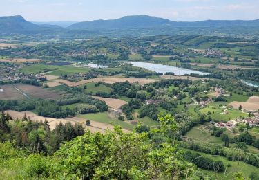
Mountain bike
Walking